Catalog Archive
Auction 146, Lot 528

"Accuratissima Germaniae Tabula Denuo in Lucem Edita", Wit, Frederick de

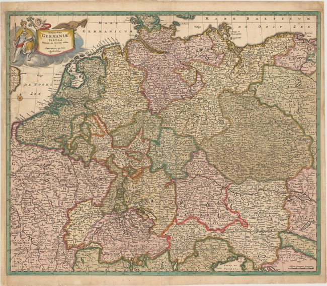
Subject: Central Europe

Period: 1680 (circa)

Publication:

Color: Hand Color

Size:
22.9 x 19.4 inches
58.2 x 49.3 cm
Download High Resolution Image
(or just click on image to launch the Zoom viewer)

A very detailed map of central Europe, extending from Belgium and The Netherlands through Pomerania in the north, and from eastern France to Croatia in the south. There is fine detail throughout of cities, political boundaries, rivers, and mountains. The map is embellished with a title cartouche featuring a knight, an eagle and a putto.

References:

Condition: B+

Lovely original color that has been partially refreshed, light soiling, and a professionally repaired centerfold separation at bottom. There is one crack in border caused by the oxidation of the green pigment that has been archivally repaired. The left margin has been extended to accommodate framing.

Estimate: $240 - $300

Sold for: $150

Closed on 9/4/2013

Archived