Catalog Archive
Auction 146, Lot 526

"[Lot of 3] Cercle de Souabe [and] Suevia Quae cis Codanum Suit Sinum Antiqua Descriptio [and ] Populorum Germaniae inter Rhenum et Albim Descriptio",

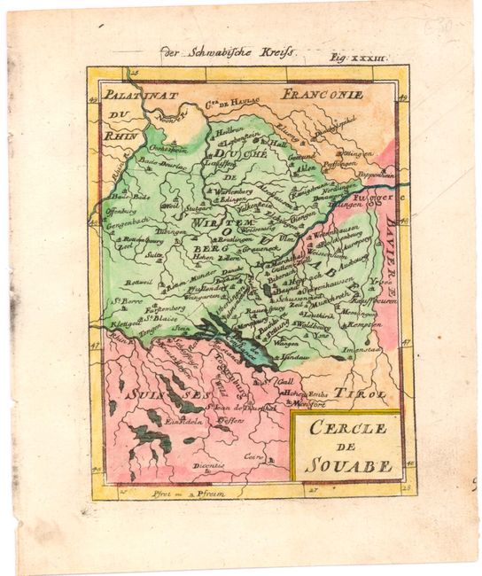
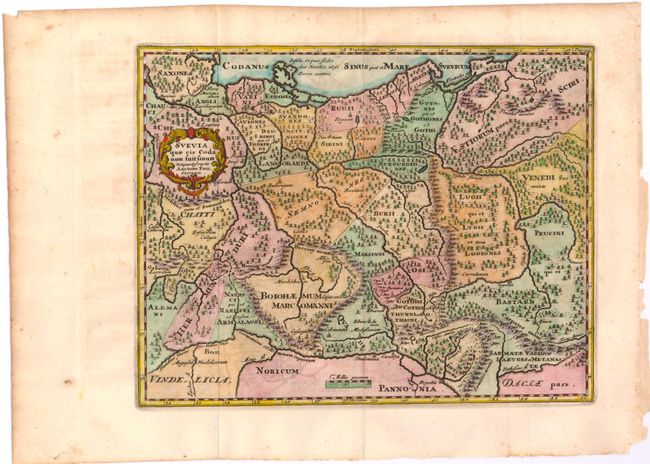
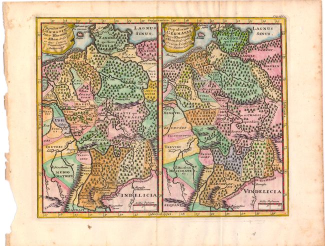
Subject: Central Europe

Period: 1660-94 (circa)

Publication:

Color: Hand Color

Size:
See Description
Download High Resolution Image
(or just click on image to launch the Zoom viewer)

A. Cercle de Souabe, by Allain Manesson Mallet, from Beschreibung des ganzen Welt-Kreisses, circa 1684 (4.5 x 5.8"). A simple map of the Swabian Circle, an Imperial Circle of the Holy Roman Empire. The map is centered on the Duchy of Wurttemberg in southwestern Germany. Reference: Pastoureau, Manesson-Mallet 1 B. Condition: Watermarked paper with minor soiling. (A)

B. Suevia Quae cis Codanum Suit Sinum Antiqua Descriptio, by Philipp Cluver, from Cartes de l'Ancienne Geographie, circa 1660 (9.8 x 7.7"). Copper engraved map covering the ancient regions from Saxony to Estiorum and south to Pannonia. Fully engraved with forests and only a few ancient city names and decorated with a strapwork title cartouche. Condition: Issued folding with some minor offsetting and faint toning. (B+)

C. Populorum Germaniae inter Rhenum et Albim Descriptio, by Philipp Cluver, from Introductionis in Universam Geographicam, circa 1694 (10.0 x 8.0"). Two maps, on one sheet, covering the same area (nearly all of present day Germany). The maps show subtle differences in the political boundaries and place names during the Roman period, under the administration of Caesar and Trajan. Condition: Issued folding on watermarked paper with minor toning and one small hole in right blank margin. (A)

References:

Condition:

See descriptions above.

Estimate: $120 - $150

Unsold

Closed on 9/4/2013

Archived