Catalog Archive
Auction 146, Lot 524

"Nieuwe en Naukeurige Kaart van Portugal...", Bachiene, Willem Albert
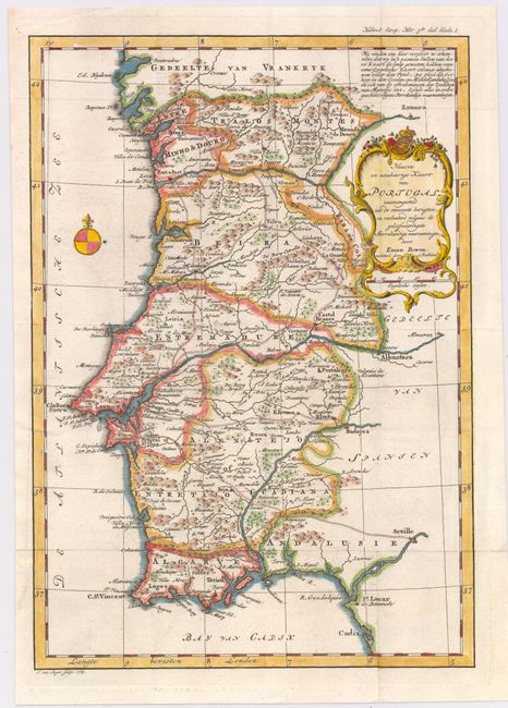
Subject: Portugal

Period: 1769 (dated)

Publication: Atlas, tot Opheldering der Hedendaagsche Historie...

Color: Hand Color

Size:
8.7 x 12.5 inches
22.1 x 31.8 cm
Download High Resolution Image
(or just click on image to launch the Zoom viewer)

An attractive map of Portugal that features a lovely rococo-style cartouche and a note in the top right corner that credits the British cartographer Emanuel Bowen, who is named in the title. The provinces (comarcas) of Portugal are shown, as well as a number of major cities, towns, roads, mountains, and rivers. The Battle of Ourique, in which the Portuguese defeated the Moors in 1139, is commemorated by two crossed sabers with the year of the battle printed next to them. Engraved by Jan van Jagen, published in 1785 in Bachiene's Atlas..., which was based on Bowen's A Complete System of Geography....

References: Shirley (BL Atlases) T.BACH-3a.

Condition: A

Issued folding on watermarked paper with faint offsetting and a couple of tiny worm holes in the left blank margin .

Estimate: $200 - $230

Sold for: $90

Closed on 9/4/2013

Archived