Catalog Archive
Auction 146, Lot 47

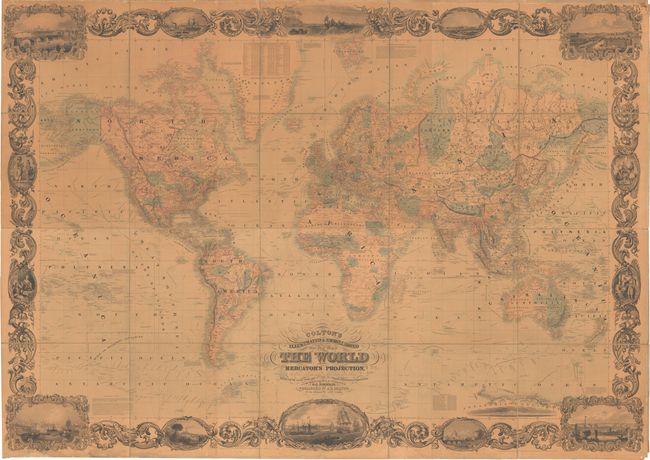
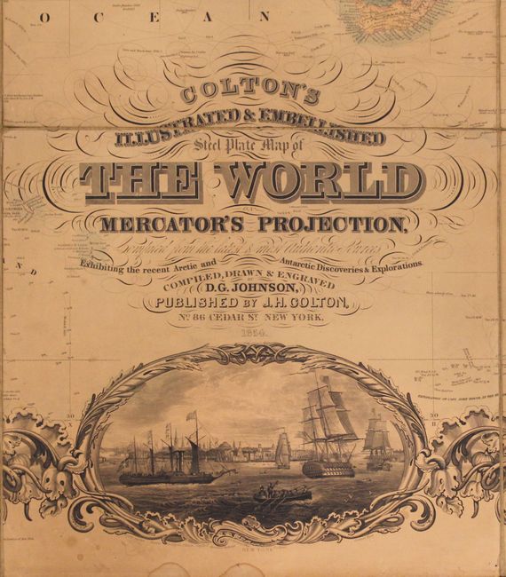
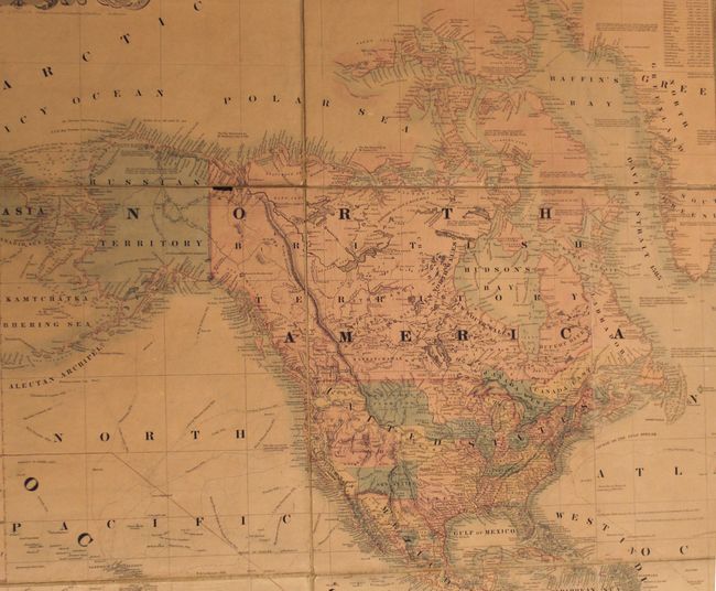
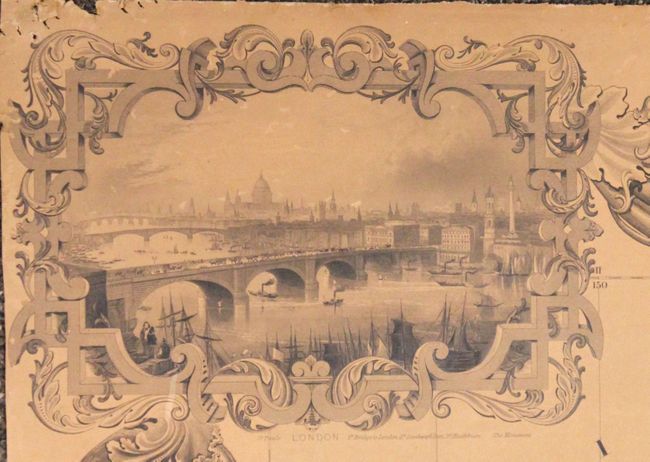
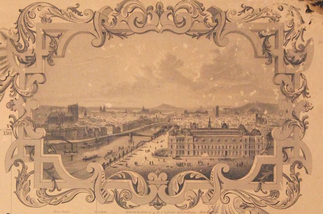
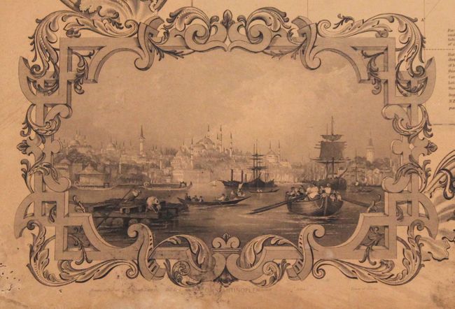
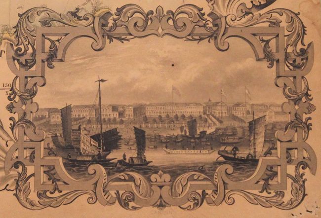
"Colton's Illustrated & Embellished Steel Plate Map of the World on Mercator's Projection Compiled from the Latest & Most Authentic Sources…", Colton, Joseph Hutchins

Subject: World

Period: 1854 (dated)

Publication:

Color: Hand Color

Size:
77.5 x 55 inches
196.9 x 139.7 cm
Download High Resolution Image
(or just click on image to launch the Zoom viewer)

This impressive map of the world was originally produced by the Johnson firm in 1847, and like other maps, Colton acquired the copyright versus producing it beginning in 1848. The map is absolutely packed with the tracks of numerous explorers including the likes of Cook, Halley, Dampier and Vancouver. In the Arctic regions, the tracks of Ross and Parry are shown. In the south, there is only a partial coastline of Antarctica with Graham Land shown as discovered in 1832. Graham Land was named after Sir James Graham of the British Admiralty and is the closest portion of Antarctica to South America. In Africa, much of interior is left blank and simply shown as "unexplored regions."

In North America, the map depicts large Utah and New Mexico territories stretching from the border with California eastward to the Continental Divide. Minnesota Territory occupies the eastern portions of the Dakotas, while the Northwest Territory covers the western Dakotas, Montana and Wyoming. While the date of the map is 1854, there is no Kansas Territory shown, indicating the map was produced shortly before the Kansas-Nebraska Act and the beginning of the fallout between the free and slave states.
The map is surrounded by a series of beautiful vignettes along with Colton's elaborate and decorative border. At top center is a vignette of Columbus' Landing. Additional images along the top and bottom feature views of important cities around the world, including New York, Paris, London, Rome, Constantinople, St. Petersburg, and Canton, among others. Along the sides of the map are vignettes showcasing people and costumes from around the world, including North and South American Indians, a Turkish harem, a Mandarin and lady in Chinese court costumes, a Swiss woman and a Greek man. Dissected in 20 sections and mounted on patterned cloth, as issued. Issued folding but without covers.

References: Ristow p. 318.

Condition: B

Issued folding with original color, pleasant toning throughout, one small chip just east of Alaska, and an 8" crack in Russia from Nova Zembla to Siberia. There are minor chips and pinholes in the corners of the sheet away from the map image, and most of the green silk edging is missing. There are a few occasional damp stains or small spots, but still a very attractive example for a map of this size.

Estimate: $8,000 - $10,000

Unsold

Closed on 9/4/2013

Archived