Catalog Archive
Auction 146, Lot 454
"[Lot of 2] Denmark Agreeable to Modern History [and] A New & Accurate Map of Denmark, from the Sieur Robert's Atlas, with Improvements"
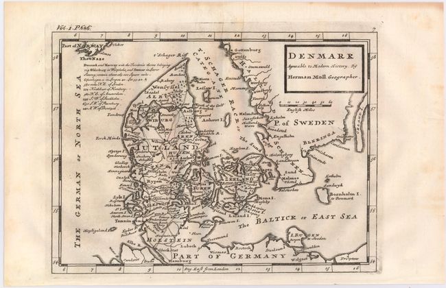
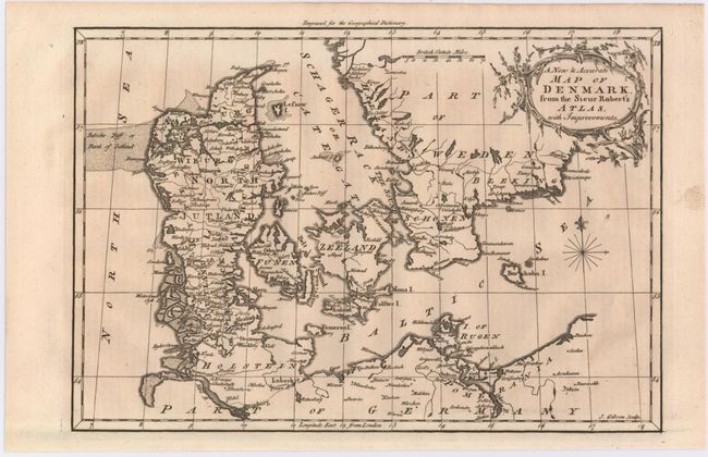
Subject: Denmark
Period: 1744-60 (circa)
Publication:
Color: Black & White
Size:
See Description
Download High Resolution Image
(or just click on image to launch the Zoom viewer)
(or just click on image to launch the Zoom viewer)