Catalog Archive
Auction 146, Lot 384
"L'Isola d'Islanda Delineata Sulle Ultime Osservazioni", Cassini, Giovanni Maria
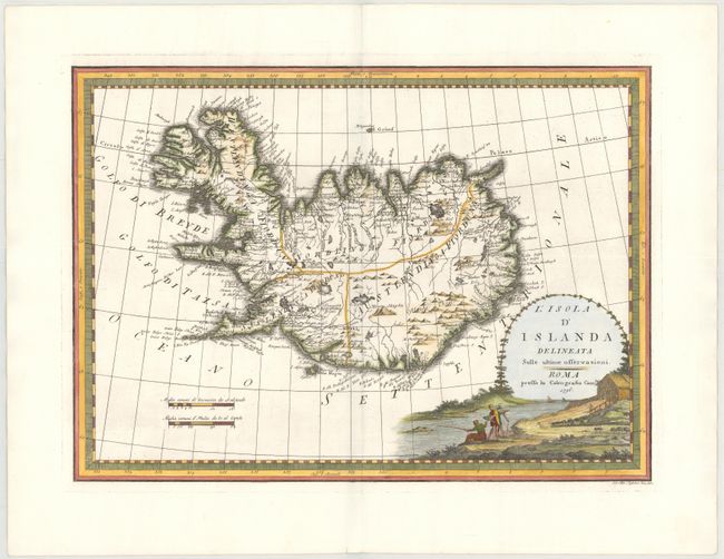
Subject: Iceland
Period: 1796 (dated)
Publication: Nuovo Atlante Geografico Universale
Color: Hand Color
Size:
18.6 x 13.5 inches
47.2 x 34.3 cm
Download High Resolution Image
(or just click on image to launch the Zoom viewer)
(or just click on image to launch the Zoom viewer)