Catalog Archive
Auction 146, Lot 299

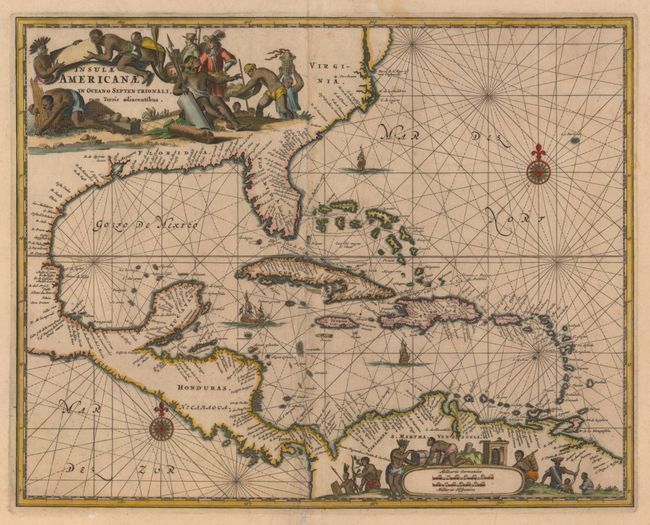
"Insulae Americanae in Oceano Septentrionali, cum Terris Adiacentibus", Montanus/Ogilby
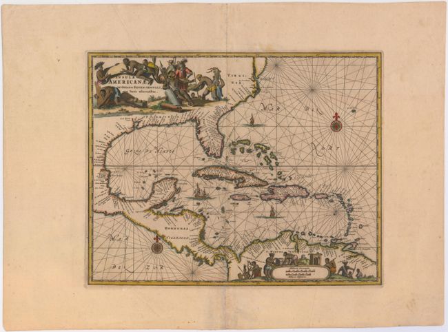
Subject: Gulf of Mexico & Caribbean

Period: 1671 (circa)

Publication: America

Color: Hand Color

Size:
14.1 x 11.3 inches
35.8 x 28.7 cm
Download High Resolution Image
(or just click on image to launch the Zoom viewer)

Montanus' work was perhaps the greatest illustrated book on the New World produced in the seventeenth century. It contained over one hundred beautifully engraved plates, views, and maps of North and South America. The plates vividly depict forts, festivals, occupations, Dutch fleets, battles, religious rites, and customs of the native inhabitants. This important work was translated into German by Olivier Dapper, and into English by John Ogilby. Several of the plates were later acquired by Pierre Vander Aa.

This is the first state of this outstanding map of the West Indies that also incorporates the eastern coast of North America from the Chesapeake Bay through the Gulf of Mexico, Central America and the northern coast of South America. The cartography is based on Hessel Gerritsz' chart of 1631 and Blaeu's map of 1634. The scenic title cartouche fills the North American continent and an equally graphic scale of miles cartouche fills the interior of South America, each surrounded by Native Americans and European merchants. The seas are embellished with rhumb lines, ships and compass roses.

References: Burden #414.

Condition: B+

A nice impression and attractive color on a sheet with very wide margins and light soiling. There are professional repairs to a centerfold separation at bottom, a 1.3" tear through Cuba, and some very minor residue.

Estimate: $800 - $950

Sold for: $550

Closed on 9/4/2013

Archived