Catalog Archive
Auction 146, Lot 251

"Indian Territory Compiled Under the Direction of Charles H. Fitch…", U.S. Geological Survey (USGS)

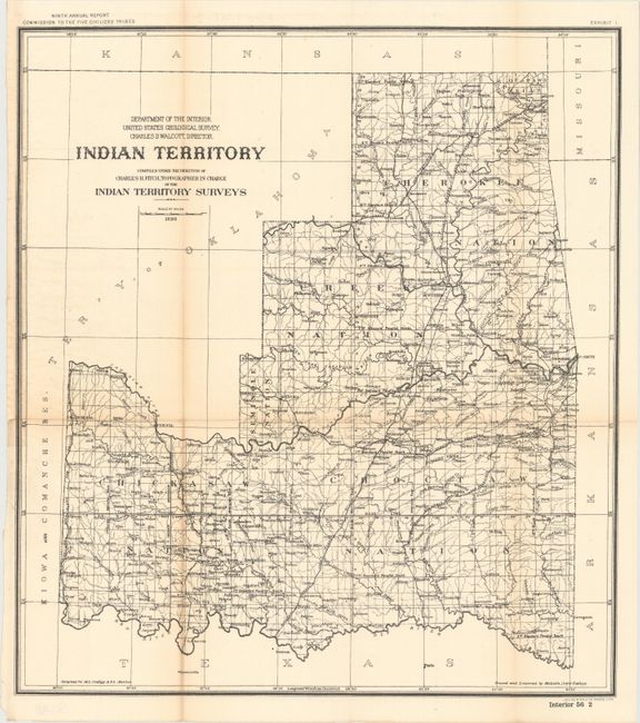
Subject: Eastern Oklahoma

Period: 1898 (dated)

Publication:

Color: Black & White

Size:
18 x 19.8 inches
45.7 x 50.3 cm
Download High Resolution Image
(or just click on image to launch the Zoom viewer)

This uncommon map matches the configuration of the rare State of Sequoyah, which the Indian Nations attempted to create in 1905 in an effort to thwart the expansive tendencies of the United States. It is also similar to the rare 1896 Senate edition which was issued in printed color. The regions of the Chickasaw, Choctaw, Creek, Seminole, Cherokee, and several other Indian tribes are named. The Territory of Okalahoma hovers ominously in the northwest. Fitch was the topographer in charge of the Indian Territory Surveys. Compiled and drawn by Malcolm Lloyd Cudlipp & F.E. Matthew. Lithography by Julius Bien & Co.

References:

Condition: B+

Issued folding and now pressed and backed in Japanese tissue with a binding trim at upper left that has been repaired with old paper. Light toning along a few folds with two tiny splits at fold intersections repaired on verso with archival material.

Estimate: $140 - $170

Sold for: $100

Closed on 9/4/2013

Archived