Catalog Archive
Auction 146, Lot 227

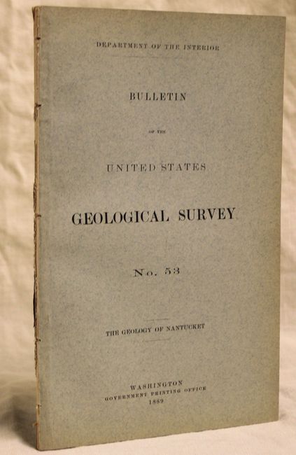
"The Geology of Nantucket [with] Map of the Island of Nantucket Showing the Distribution of Glacial and Post-Glacial Deposits…", U.S. Geological Survey (USGS)

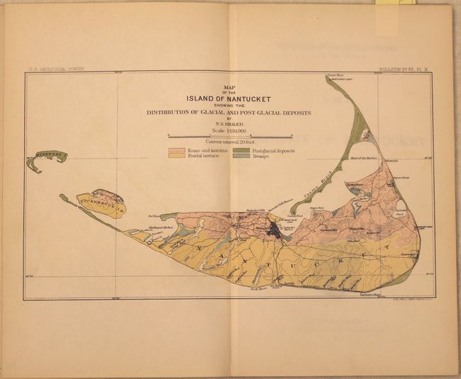
Subject: Nantucket, Massachusetts

Period: 1889 (published)

Publication:

Color: Printed Color

Size:
6 x 9.2 inches
15.2 x 23.4 cm
Download High Resolution Image
(or just click on image to launch the Zoom viewer)

This is one of the earliest comprehensive geologic reports of Nantucket, with detail on geologic history, surficial deposits, coastline and beaches. Included in the report are nine plates and a folding map entitled Map of the Island of Nantucket Showing the Distribution of Glacial and Post-Glacial Deposits (10 x 5.5"). The attractive map shows four different geologic units depicting kame and maraine, frontal terrace, post-glacial deposits and swamps. The map was completed by N.S. Shaler. 54 pp. of text enclosed in blue paper wrappers.

References:

Condition: A

Map is near fine with very faint color offsetting. Text and plates are very good with light toning. The spine is perished.

Estimate: $275 - $350

Sold for: $200

Closed on 9/4/2013

Archived