Catalog Archive
Auction 146, Lot 202
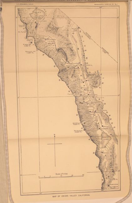
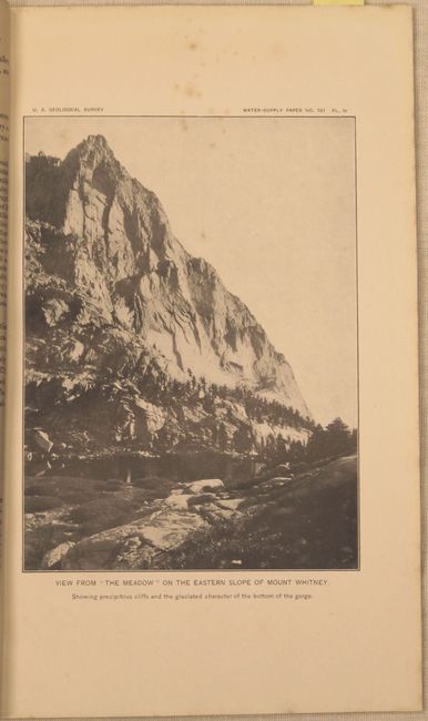
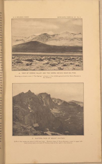
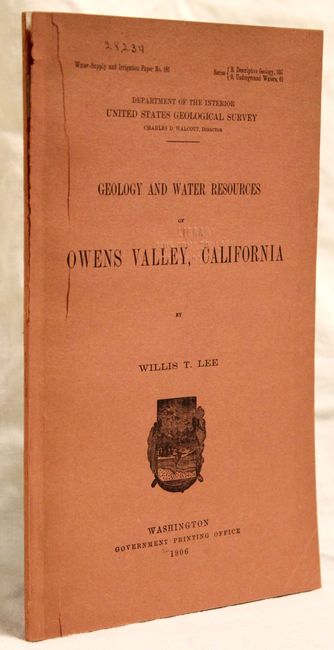
"Geology and Water Resources of Owens Valley, California", U.S. Geological Survey (USGS)
Subject: Central California
Period: 1906 (published)
Publication:
Color: Black & White
Size:
5.8 x 9.1 inches
14.7 x 23.1 cm
Download High Resolution Image
(or just click on image to launch the Zoom viewer)
(or just click on image to launch the Zoom viewer)