Catalog Archive
Auction 146, Lot 136

"Etats-Unis", Vuillemin, Alexander A.

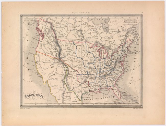
Subject: United States, Texas

Period: 1843 (circa)

Publication:

Color: Hand Color

Size:
10 x 7.5 inches
25.4 x 19.1 cm
Download High Resolution Image
(or just click on image to launch the Zoom viewer)

This map of the United States shows an Independent Texas. Within Texas, the towns of S. Antonio de Bajax, Trinidad, Santa Fe, Taos and Houston are located. In the Northwest, the U.S. land claims extend well into British Columbia illustrating the Fifty-four Forty or Fight dispute with England. The U.S. spans across the continent to the Pacific but no organized territories are shown except for the District de l'Oregon. Instead the Indian Nations are located; District de Osages, District des Mandanes, and more. Arkansas is shown in its largest configuration with its western border against Texas. The map is enclosed in a decorative border.

References:

Condition: A

Light toning along the edges of the sheet, else fine.

Estimate: $100 - $130

Sold for: $120

Closed on 9/4/2013

Archived