Catalog Archive
Auction 145, Lot 843

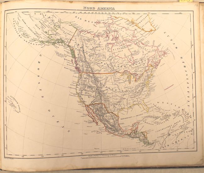
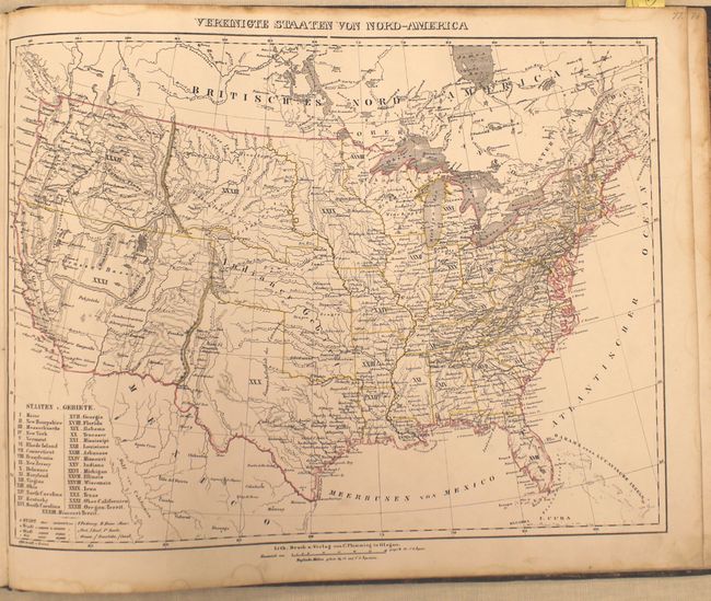
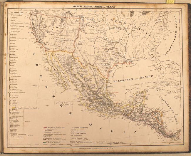
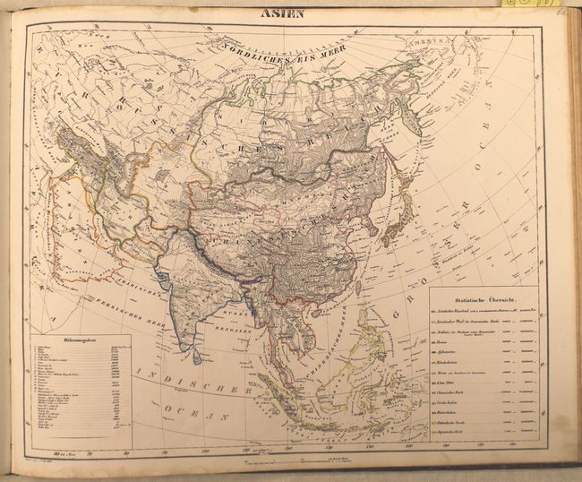
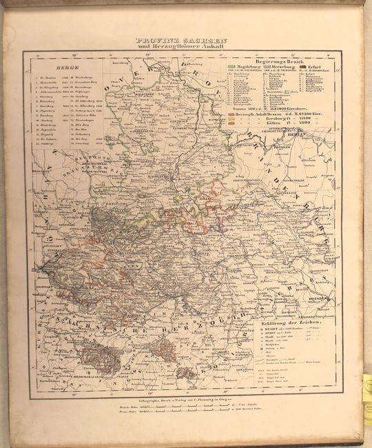
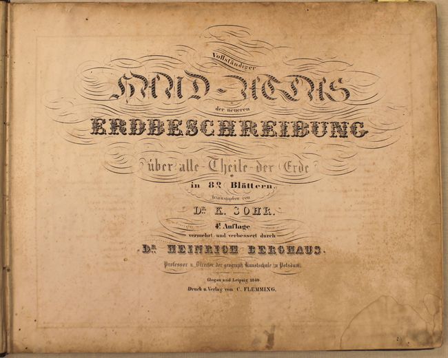
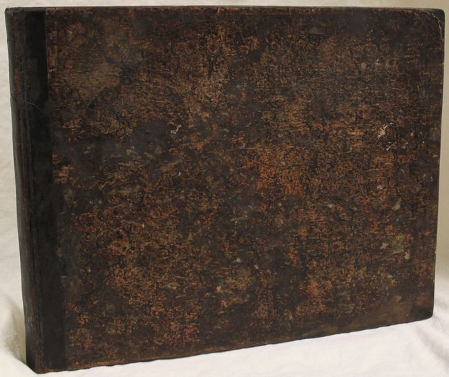
"Vollstandiger Hand-Atlas der Neueren Erdbeschreibung...", Berghaus, Heinrich

Subject: Atlases

Period: 1849 (published)

Publication:

Color: Hand Color

Size:
17.5 x 14.2 inches
44.5 x 36.1 cm
Download High Resolution Image
(or just click on image to launch the Zoom viewer)

This complete example contains 82 maps and charts with the typical German proficiency and craftsmanship. Nearly every map is hand colored in outline, with the 2 celestial charts and a few regional maps left uncolored. The majority of the maps are focused on the European countries, but there are also maps of the continents of Asia, Africa, Australia, South America and three maps related to North America including: Nord America, Vereinigte Staaten Von Nord-Am, and Mexico, Mittel-America, and Texas. The map of the United States shows the relatively new state of Texas with the western boundary well into present day New Mexico and a large Upper California, Oregon Territory and Missouri Territory. Oblong folio, quarter leather with tips over marbled boards.

References: Wheat (TMW) #745 & #748.

Condition: B

The maps have original outline color and range from very good to fair with scattered foxing, toning along the top edge of the sheet, and occasional damp stains. The maps considered fair (due to foxing) are Posen, Italy, Russia and the West Indies. Binding is sound and the covers are stained and chipped.

Estimate: $550 - $700

Sold for: $600

Closed on 6/12/2013

Archived