Catalog Archive
Auction 145, Lot 767
"Charte von einem Theile der Ost-Kuste von Africa...", Geographisches Institut
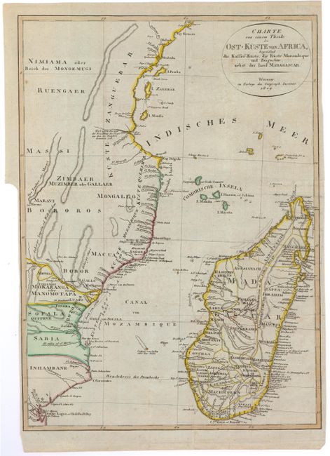
Subject: Southeastern Africa
Period: 1809 (dated)
Publication:
Color: Hand Color
Size:
11.7 x 16.2 inches
29.7 x 41.1 cm
Download High Resolution Image
(or just click on image to launch the Zoom viewer)
(or just click on image to launch the Zoom viewer)