Catalog Archive
Auction 145, Lot 490
"Delflandia, Schielandia, et Insulae trans Mosam Illis Objacentes ut Sunt Voorna, Overflackea, Goerea, Yselmonda, etc.", Blaeu, (Family)
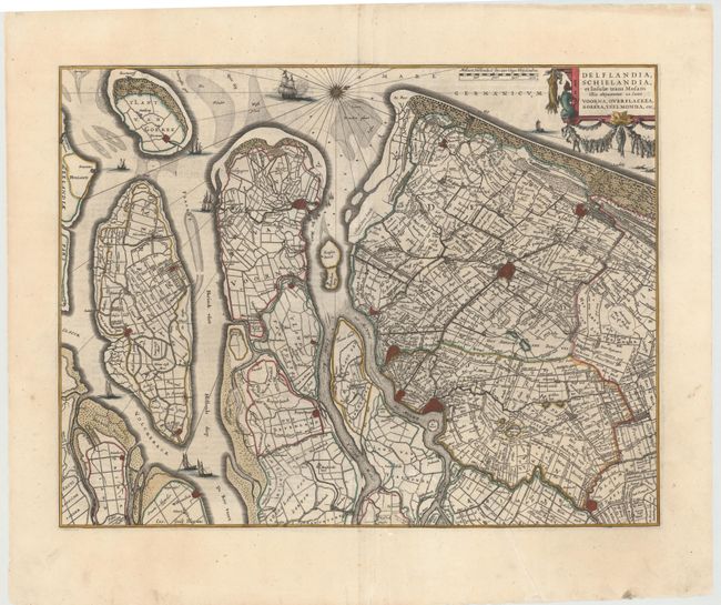
Subject: Southern Netherlands
Period: 1660 (circa)
Publication:
Color: Hand Color
Size:
19.9 x 15.2 inches
50.5 x 38.6 cm
Download High Resolution Image
(or just click on image to launch the Zoom viewer)
(or just click on image to launch the Zoom viewer)