Catalog Archive
Auction 145, Lot 446

"Nottingham Shire", Morden, Robert

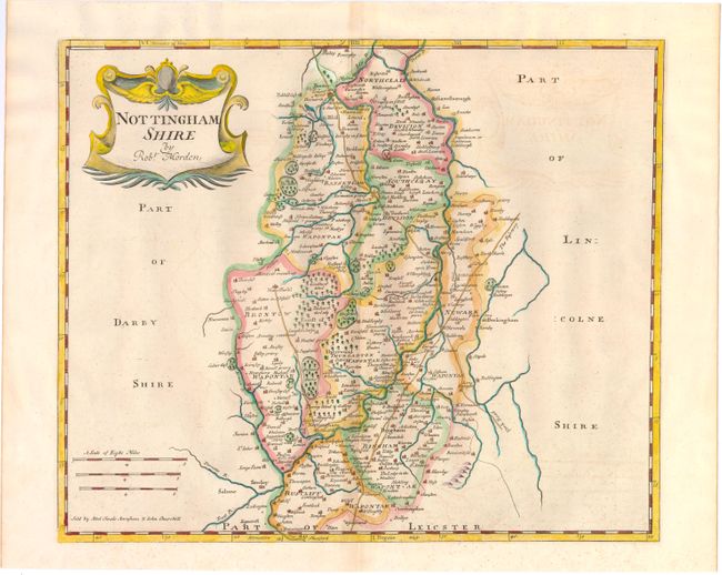
Subject: Nottingham, England

Period: 1722 (circa)

Publication: Britannia

Color: Hand Color

Size:
16.5 x 13.7 inches
41.9 x 34.8 cm
Download High Resolution Image
(or just click on image to launch the Zoom viewer)

This county map of Nottinghamshire shows the early road system, with the town of Nottingham located in the lower portion of the sheet. The map displays interesting detail including the locations of buildings, rivers, bridges and parks. There is a decorative title cartouche and three distance scales. Sold by Abel Swale, Awnsham & John Churchil.

Morden was one of the first English cartographers to show longitudes measured from the meridian of St. Paul's Cathedral (shown in degrees at the bottom of the map) and time in minutes measure locally from the sun (shown at the top in Roman numerals). The roads on his maps are based on Ogilby's earlier survey. The Britannia was first published by historian William Camden (1551-1623) in 1586. After the publication of the final edition of Britannia in 1637, the work was not published again until 1695 when Gibson revised and translated the text from the original Latin. He included fifty maps, mostly of the English counties, prepared by Robert Morden, replacing the outdated maps of Christopher Saxton.

References:

Condition: B

Light toning along centerfold, minor foxing and faint offsetting.

Estimate: $110 - $140

Sold for: $80

Closed on 6/12/2013

Archived