Catalog Archive
Auction 145, Lot 257
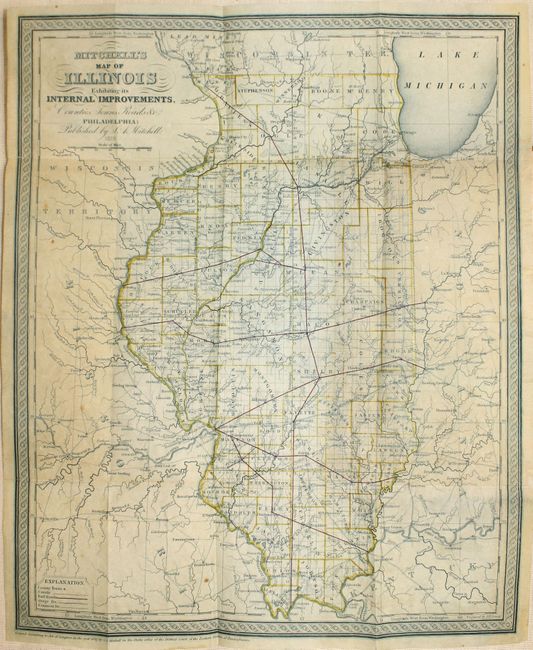
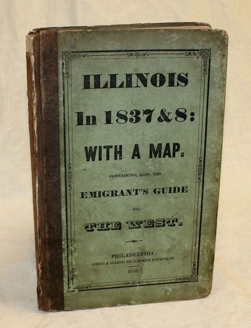
"Mitchell's Map of Illinois Exhibiting Internal Improvements, Counties, Towns, Roads &c. [with book] Illinois in 1837; a Sketch Descriptive of the Situation, Boundaries, Face of the Country, Prominent Districts, Prairies, Rivers, Minerals, Animals...", Mitchell, Samuel Augustus
1 of 2
Subject: Illinois
Period: 1837 (dated)
Publication:
Color: Hand Color
Size:
15.2 x 12.5 inches
38.6 x 31.8 cm
Download High Resolution Image
(or just click on image to launch the Zoom viewer)
(or just click on image to launch the Zoom viewer)