Catalog Archive
Auction 144, Lot 99

"[USGS Topographical Map - Austin, Texas]", U.S. Geological Survey (USGS)

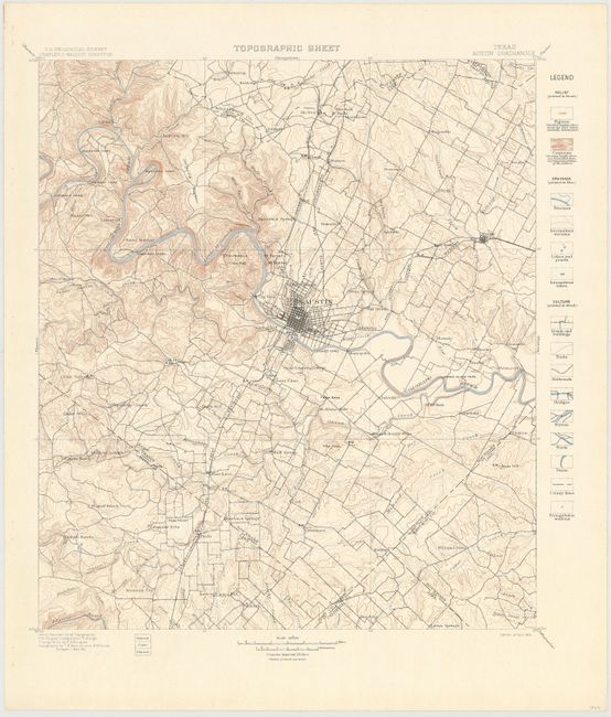
Subject: Austin, Texas

Period: 1901 (dated)

Publication:

Color: Printed Color

Size:
15.2 x 17.5 inches
38.6 x 44.5 cm
Download High Resolution Image
(or just click on image to launch the Zoom viewer)

Produced under the direction of Charles Walcott, this map features the region around Austin. Shows the street grid pattern of the city itself and extends to include Mendoza, Cedar Hill, Manor and Buttercup. A legend at right identifies fifteen different features in the categories of relief (brown), culture (black), and drainage (blue).

References:

Condition: A

There are binding holes and minor creasing in left blank margin.

Estimate: $120 - $150

Sold for: $90

Closed on 4/3/2013

Archived