Catalog Archive
Auction 144, Lot 35

"Carte de l'Amerique Septentrionale", Lapie, Alexander Emile & Pierre

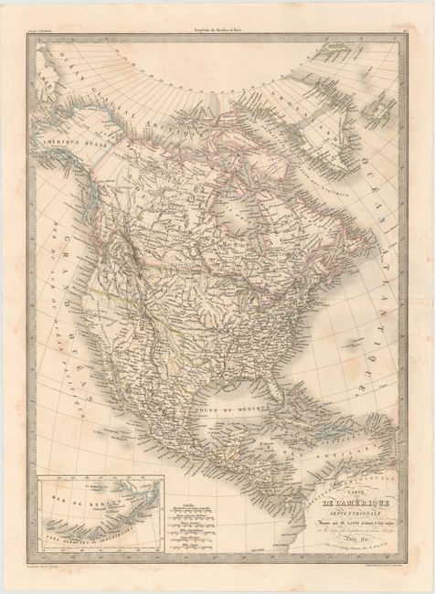
Subject: North America

Period: 1841 (dated)

Publication:

Color: Hand Color

Size:
15.8 x 22 inches
40.1 x 55.9 cm
Download High Resolution Image
(or just click on image to launch the Zoom viewer)

The United States and Great Britain established in 1818 joint claim over the Oregon Territory - the region north of Spanish controlled Upper California up to the southern boundary of Russia's Alaska Territory at North latitude 54°40'. By the late 1830's this arrangement was beginning to fall apart. In the 1840's the expansionist Democrats, including their 1844 presidential candidate, James Polk, claimed the entire region for the United States. Their expansionist desires were expressed by Polk's famous campaign slogan, "Fifty-four Forty or Fight!" The slogan also became a rally cry for Americans desiring to settle the territory. Following Polk's election, the dispute was resolved by the 1846 Treaty of Oregon, which struck a compromise that fixed the U.S./Canadian boundary at 49º North.

This is an interesting 19th century map of the continent showing the United States in an evolving configuration. The boundary between the United States and Canada reflects the United States claims in the disputed Columbia region (Oregon) and there is an independent Republic of Texas. Alaska is named Amerique Russe. The map shows good detail of cities, rivers and locations of Indian tribes but does not show state or territorial boundaries. At lower left is an inset of the Aleutian Islands and Bering Sea. Engraved by Pierre Tardieu.

References:

Condition: B

Original color with light scattered staining in the image.

Estimate: $230 - $275

Sold for: $170

Closed on 4/3/2013

Archived