Catalog Archive
Auction 144, Lot 189

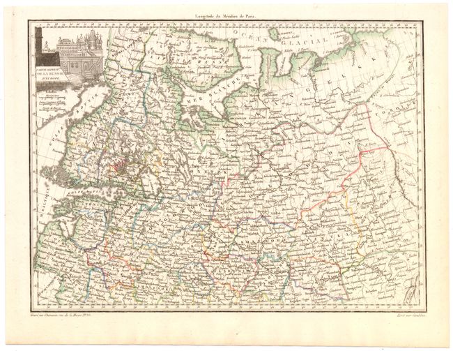
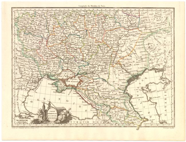
"[Lot of 2] Partie Septentle. de la Russie d'Europe [and] Partie Meridionale de la Russie d'Europe", Malte-Brun, Conrad

Subject: Russia

Period: 1812 (circa)

Publication: Atlas Complet du Precis de la Geographie Universelle

Color: Hand Color

Size:
12 x 8.7 inches
30.5 x 22.1 cm
Download High Resolution Image
(or just click on image to launch the Zoom viewer)

A fine lot of two detailing the northern and southern regions of Russia, extending west to the Caspian Sea, and including all of the Black Sea in the south. The region is divided into provinces, and hundreds of cities, towns, and villages are labeled. The maps were published under the direction of Captain Pierre Lapie (1777-1850) geographer to King Louis XVIII and topographer to the French War Department and were engraved by Chamouin for Malte-Brun's (1775-1826) Atlas Complet du Precis de la Geographie Universelle.

References:

Condition: A

Clean sheets with just a hint of toning along sheet edges.

Estimate: $200 - $240

Sold for: $100

Closed on 4/3/2013

Archived