Catalog Archive
Auction 144, Lot 177

"Li Governi di Linguadoca, di Foix, e di Rossiglione con il Rouergue di Nuova Projezione", Zatta, Antonio

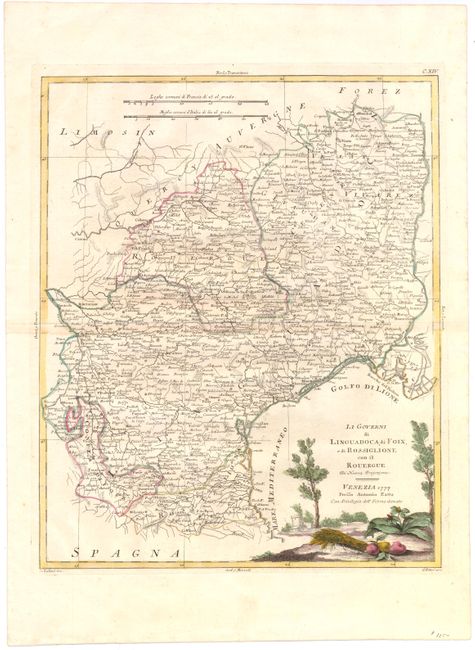
Subject: Southern France

Period: 1777 (dated)

Publication: Atlante Novissimo

Color: Hand Color

Size:
13 x 16 inches
33 x 40.6 cm
Download High Resolution Image
(or just click on image to launch the Zoom viewer)

Beautiful map of the regions of Languedoc and Roussillon on the southern coast of France along the Gulf of Lion. The map extends to include the Camargue, the largest river delta in western Europe, and the entrance to the Rhone River. There is great detail of the towns, political boundaries, rivers, and topography in the region. Numerous cities are named, including Montpellier, Nimes, Perpignan, Toulouse (Tolos), and Montauban. The title cartouche features a decorative landscape scene with trees, farm produce, plants and a house in the distance. Engraved by Giovanni Pitteri and Giuliano Zuliani.

References: Shirley (BL Atlases) T.ZAT-1a, Vol 1 #35.

Condition: B+

Original color on watermarked paper with full, original margins and very light toning along centerfold.

Estimate: $95 - $120

Sold for: $45

Closed on 4/3/2013

Archived