Catalog Archive
Auction 144, Lot 174

"Pas-Kaart van de Bocht van Vrankryk Biscaien en Galissen ‘t Inkomen van ‘t Canaal als Meden 't Canaal van Bristol ende Zuyd Kust van Yrland", Keulen, Johannes van

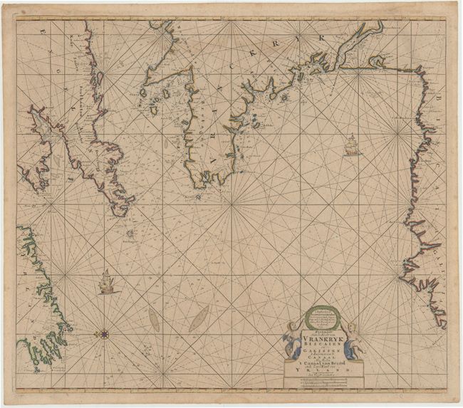
Subject: Bay of Biscay & English Channel

Period: 1693 (dated)

Publication:

Color: Hand Color

Size:
23.5 x 20.5 inches
59.7 x 52.1 cm
Download High Resolution Image
(or just click on image to launch the Zoom viewer)

Fine early chart of the Bay of Biscay depicting the coasts of southern England and Ireland, the western coast of France, and the northern coast of Spain. The chart identifies anchorages, soundings, shoals, and numerous place names along the coasts. In addition to a title cartouche flanked by cherubs, the chart is also embellished with two sailing vessels and a compass rose orienting north to the left. Drawn under the direction of Johannes Van Keulen (1635-1689), a famous Dutch chartmaker and seller, working in Amsterdam in the mid-seventeenth century. This chart is quite rare - we have only seen one other example of this map on the market in the last 30 years and one other example held in a public library.

References:

Condition: B+

Good margins with a faint damp stain at top, entering 2" into map, and another in bottom blank margin along centerfold.

Estimate: $800 - $1,000

Unsold

Closed on 4/3/2013

Archived