Catalog Archive
Auction 144, Lot 160

"Evia et Escia, Scotis Evsdail et Eskdail", Blaeu, Johannes

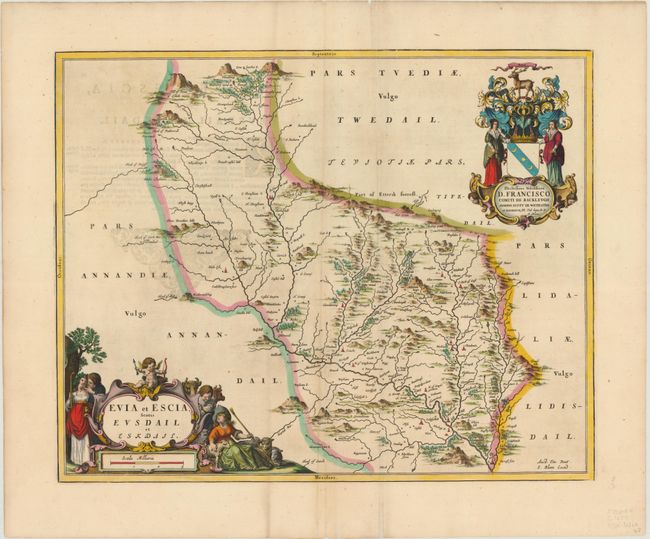
Subject: Southern Scotland

Period: 1654 (circa)

Publication: Theatrum Orbis Terrarum sive Atlas Novus

Color: Hand Color

Size:
20.7 x 16.6 inches
52.6 x 42.2 cm
Download High Resolution Image
(or just click on image to launch the Zoom viewer)

This beautifully engraved map covers Eskdale, a subdivision of the county of Dumfriesshire within the Scottish Borders. The map includes great detail of the rivers, cities, villages and castles and is based on the work of Timothy Pont, who conducted an important survey of Scotland in the late sixteenth century. Two large, lovely cartouches adorn the map, both featuring illustrations of animals and regional figures. Latin text on verso.

References: Phillips (A) 5941, v.5 #10.

Condition: B+

Excellent coloring with two printer's creases parallel to centerfold, minor soiling, and show through of text on verso. Short centerfold separations in top and bottom blank margins have been backed in archival tape.

Estimate: $300 - $375

Sold for: $220

Closed on 4/3/2013

Archived