Catalog Archive
Auction 143, Lot 478
"Lithuania", Mercator, Gerard
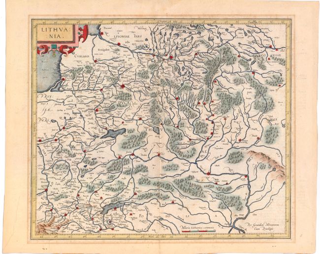
Subject: Lithuania
Period: 1610 (circa)
Publication:
Color: Hand Color
Size:
17.2 x 14.6 inches
43.7 x 37.1 cm
Download High Resolution Image
(or just click on image to launch the Zoom viewer)
(or just click on image to launch the Zoom viewer)