Catalog Archive
Auction 143, Lot 208

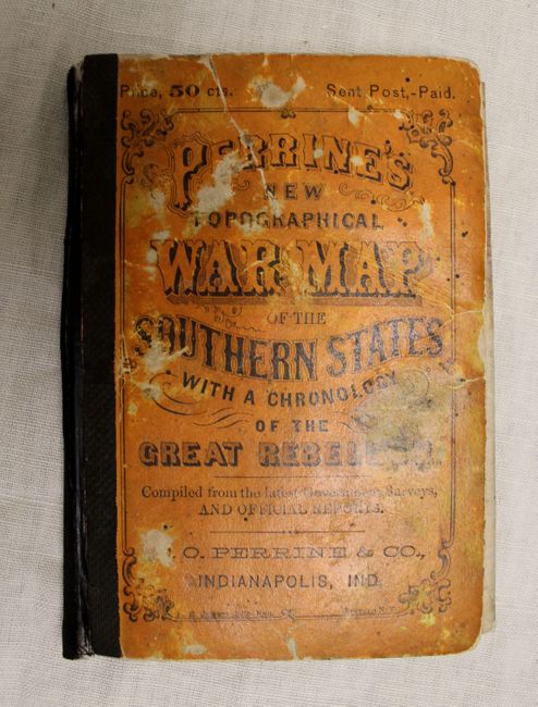
"Perrine's New Topographical War Map of the Southern States. Taken from the Latest Government Surveys and Official Reports", Perrine, Charles O.

Subject: Southern United States

Period: 1863 (dated)

Publication:

Color: Printed Color

Size:
36.5 x 28 inches
92.7 x 71.1 cm
Download High Resolution Image
(or just click on image to launch the Zoom viewer)

This large folding map of the Southern States is filled with small red circles indicating the sites of major Civil War battles from Pennsylvania to Florida and west to Arkansas and Missori. Roads, railroads, cities, and rivers are also depicted, with an inset of the southern portion of Florida. Engraved by Jewett & Co. and folds into orange boards.

References:

Condition: B

The map is lightly toned with several small brown spots and a number of small centerfold separations that have been closed on verso with archival material. Paper boards are heavily worn and held together with archival tape.

Estimate: $300 - $400

Sold for: $220

Closed on 2/13/2013

Archived