Catalog Archive
Auction 142, Lot 777
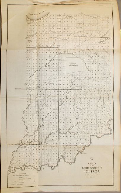
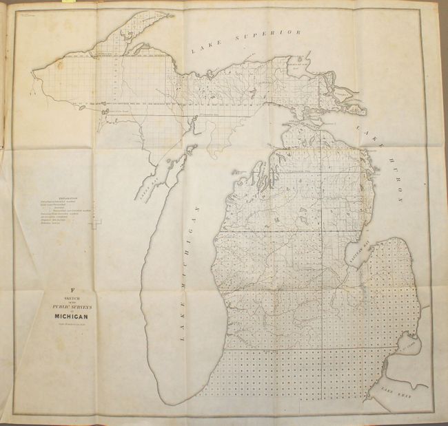
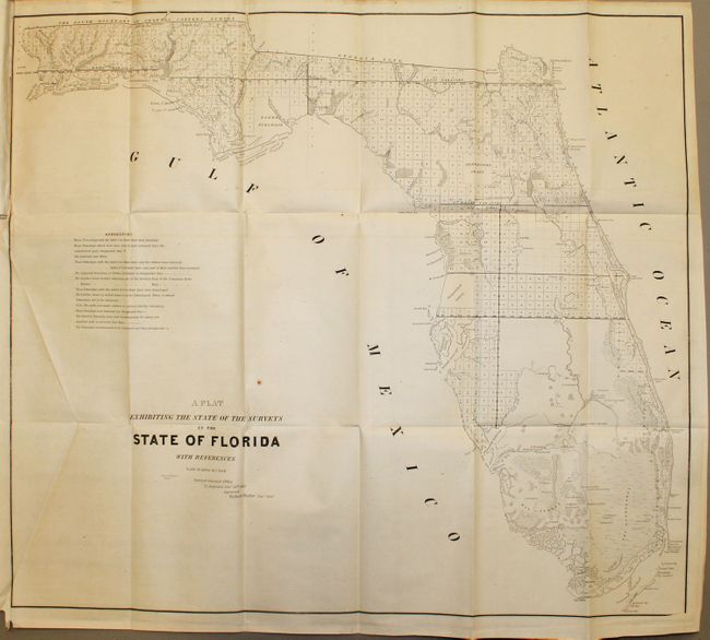
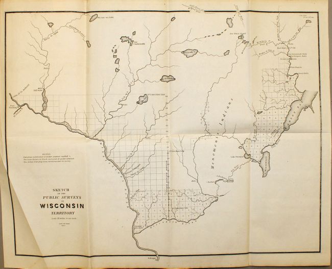
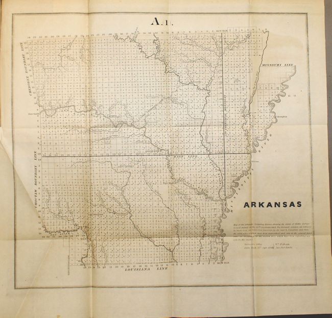
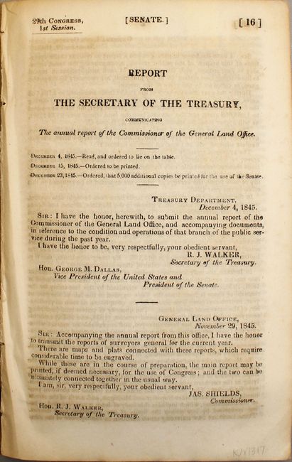
"The Annual Report of the Commissioner of the General Land Office", General Land Office
1 of 6
Subject: Exploration and Surveys, United States
Period: 1845 (published)
Publication: Senate Doc. 16, 29th Congress, 1st Session
Color: Black & White
Size:
6 x 9 inches
15.2 x 22.9 cm
Download High Resolution Image
(or just click on image to launch the Zoom viewer)
(or just click on image to launch the Zoom viewer)