Catalog Archive
Auction 142, Lot 763

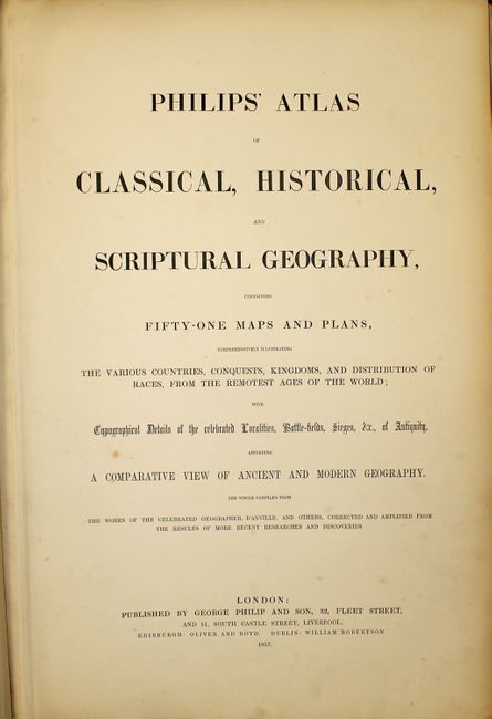
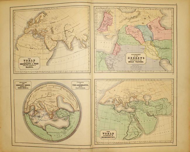
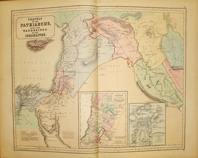
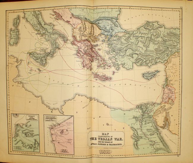
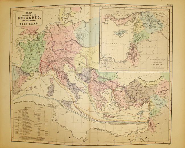
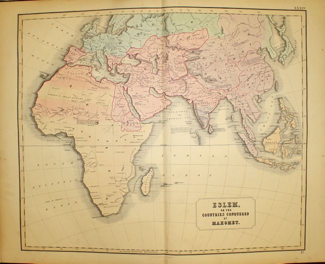
"Philips' Atlas of Classical Historical & Scriptural Geography, Illustrating the Scriptures, Ancient Classics, Historians, Poets &c.", Philip, George

Subject: Atlases

Period: 1857 (published)

Publication:

Color: Hand Color

Size:
16 x 23 inches
40.6 x 58.4 cm
Download High Resolution Image
(or just click on image to launch the Zoom viewer)

This complete atlas contains 51 maps depicting the ancient world during various periods throughout history. The geographical systems of Ptolemy, Eratosthenes, and Strabo are shown, as well as the world according to Homer and Herodotus. Numerous ancient empires, expeditions and battle plans are also depicted, including a map illustrating the Trojan War. Published by George Philip and Son in Liverpool. Complete with two title pages, table of contents, and 51 maps on 36 sheets. Elephant Folio. Hardbound in original red cloth with quarter calf spine and tips, gilt titling on cover and spine, gilt fore-edges, and marbled end papers.

References:

Condition: A

The maps are in near fine condition - clean and bright with original hand color and light soiling and toning confined to blank margins. A couple of maps are in very good condition with light foxing or soiling in the image. The binding is sound and the covers are worn and soiled with bumped corners. The spine is heavily worn.

Estimate: $400 - $500

Sold for: $500

Closed on 11/28/2012

Archived