Catalog Archive
Auction 142, Lot 756

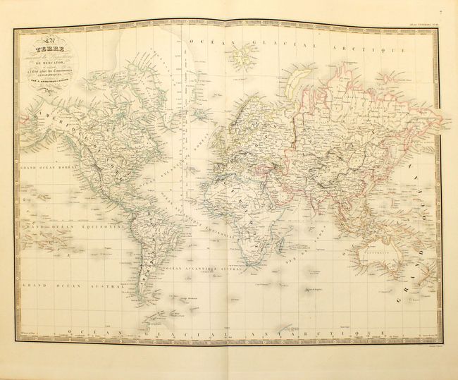
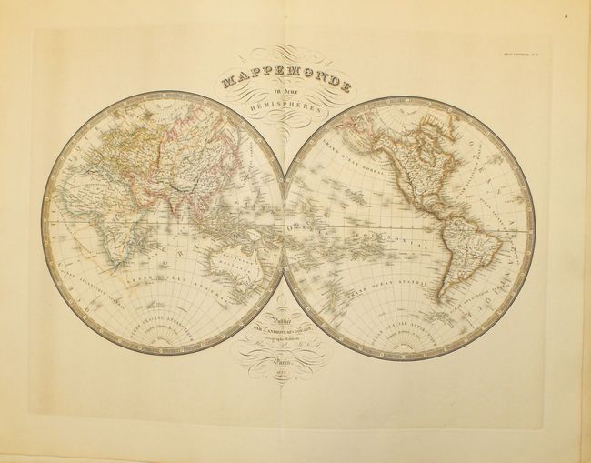
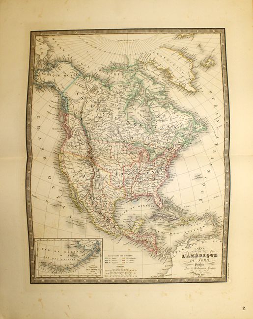
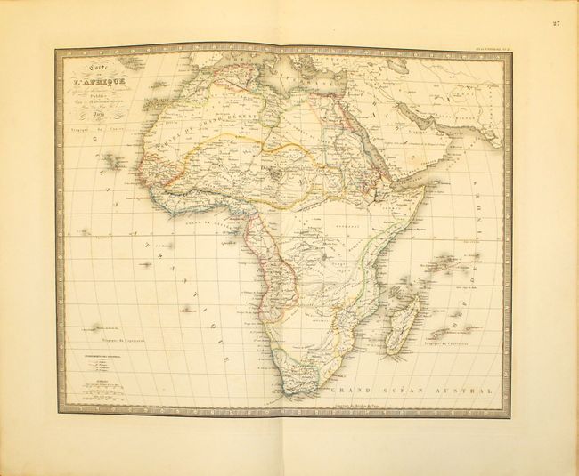
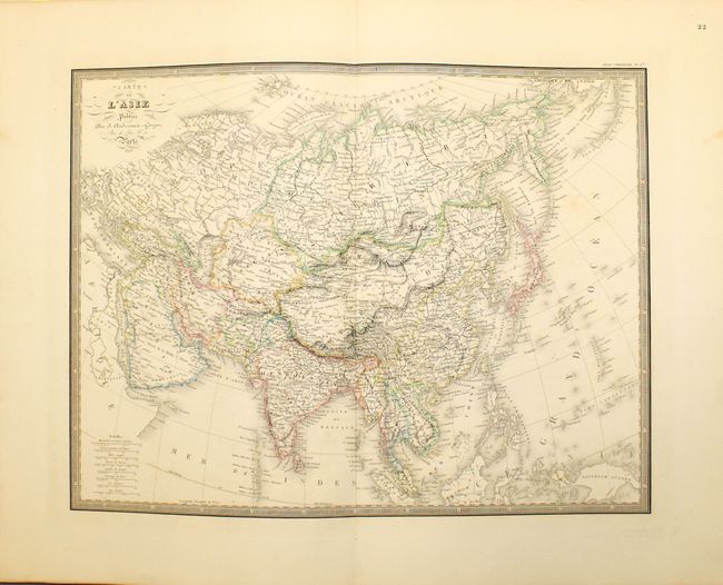
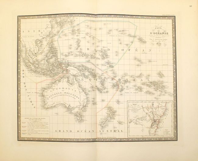
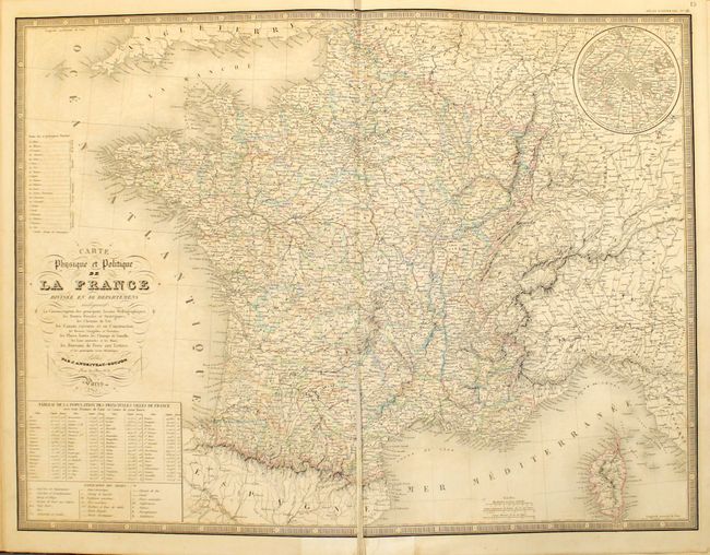
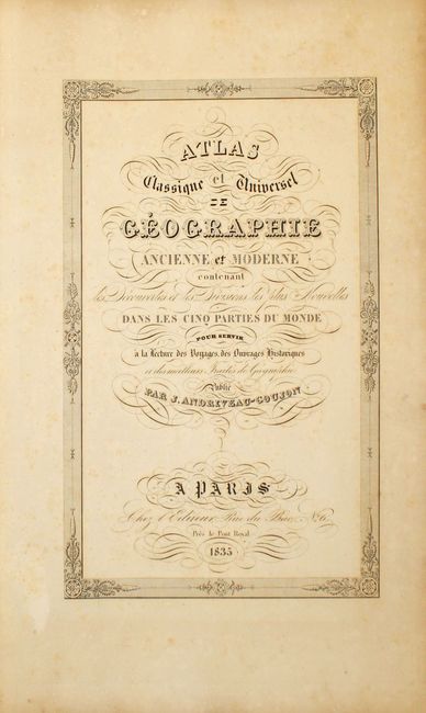
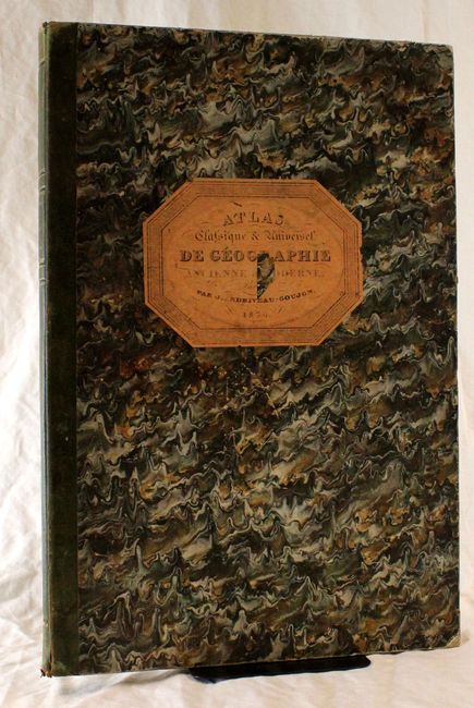
"Atlas Classique et Universel de Geographie Ancienne et Moderne…", Andriveau-Goujon, J.

Subject: Atlases

Period: 1835 (dated)

Publication:

Color: Hand Color

Size:
13.3 x 20 inches
33.8 x 50.8 cm
Download High Resolution Image
(or just click on image to launch the Zoom viewer)

This complete atlas includes 31 double-page maps of the world, continents, and regional maps of Europe and Asia. The map of North America shows Mexico in control of the southwest and Texas, and Alaska is named Amerique Russe. The northwest extends well into Canada and is labeled Territoire Oregon. Australia is labeled Nouvelle Hollande. All of the maps are extremely detailed and informative, and are surrounded by a keyboard style border. Maps are dated between 1834-37 and the title page is dated 1835.

J. Andriveau and J. Goujon, working collectively as Andriveau-Goujon, were among the most prominent cartographic publishers in Paris during the 19th century. They published high quality pocket maps, globes and atlases and often worked with other prominent French cartographers including Brue and Levasseur. An advertisement for their other works is bound in front of the title page. Quarter leather and original mottled paper boards with raised bands and gilt title on spine and original paper label on front cover.

References:

Condition: B+

Maps range in condition from near fine to good with some light offsetting and toning. The map of France has a centerfold separation that just enters map border. The covers are worn and bumped with a chip in center of paper label on front cover. The end papers and title pages show some light toning and foxing.

Estimate: $950 - $1,200

Sold for: $500

Closed on 11/28/2012

Archived