Catalog Archive
Auction 142, Lot 754

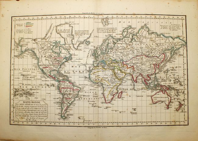
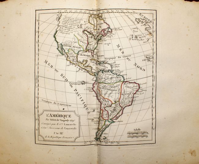
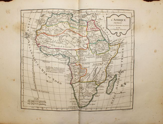
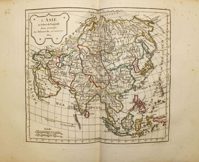
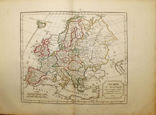
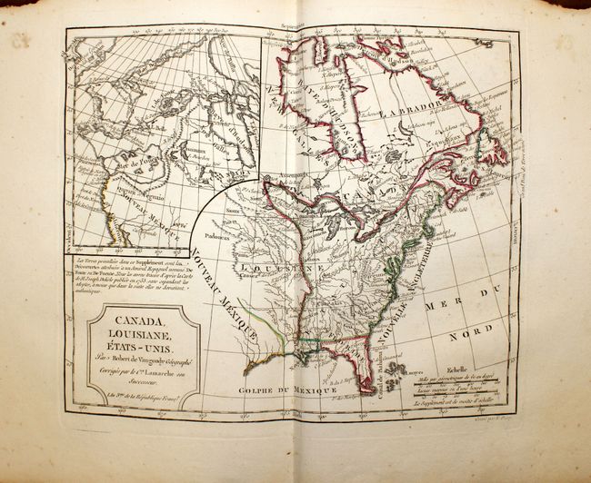
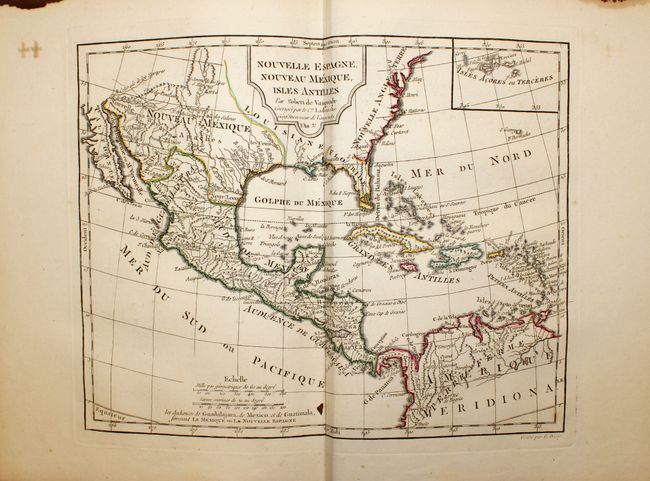
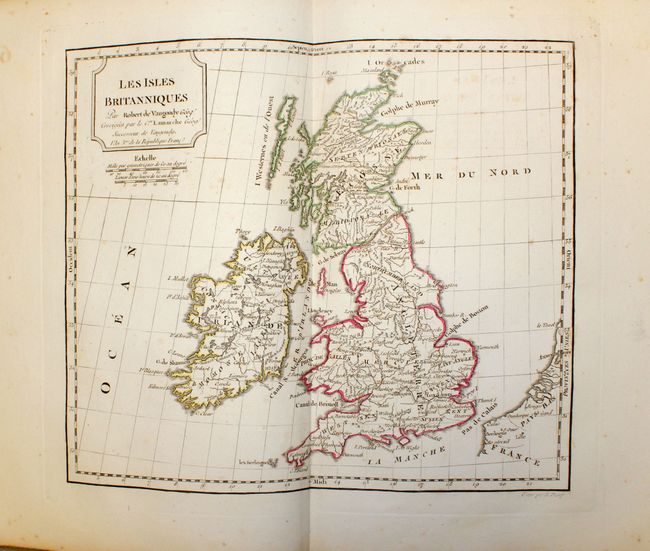
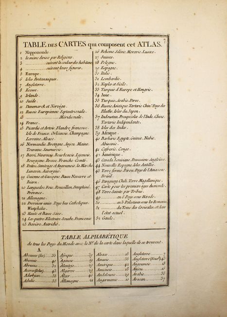
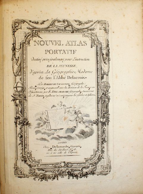
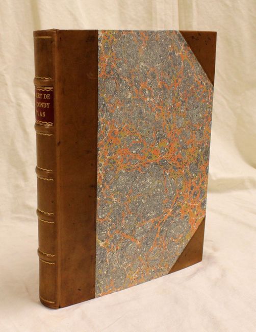
Attractive French Student Atlas

"Nouvel Atlas Portatif…", Robert de Vaugondy/Delamarche

Subject: Atlases

Period: 1806 (circa)

Publication:

Color: Hand Color

Size:
10.3 x 12.5 inches
26.2 x 31.8 cm
Download High Resolution Image
(or just click on image to launch the Zoom viewer)

Complete with engraved title page and 53 maps as per the table of contents. Includes four world maps (showing the tracks of explorers including Capt. Cook), five related to the Americas, three of Africa, five of Asia, four of the Holy Land and the balance of Europe. Map number 47 has been used twice to depict the changes in political boundaries in the Middle East. The map Canada, Louisiane, Etats-Unis includes a large inset showing the Sea of the West and a great Northwest Passage. Other maps of North America include: L'Amerique; and Nouvelle Espangne, Nouveau Mexicque, Isles Antilles. A beautifully engraved title page is followed by 9 preliminary pages that include a list of maps and an alphabetical index of place names. 4to, rebound in marbled boards and quarter calf spine and tips.

The Nouvel Atlas Portatif was Didier Robert de Vaugondy's only independent atlas venture, without any financial backing from others. It was designed specifically for educating young students, and is prefaced with "Discours sur l'etude de la Geographie" in which he laid out his philosophy of teaching children geography.

References: Pedley pp. 97-102, 231; Phillips (A) #3528.

Condition: B

The maps are in original outline color and range in condition from near fine to good, with some foxing and occasional centerfold toning, damp stains and minor spots. The world maps show heavier foxing, and the second portion of the atlas has a brown stain in the upper blank margin well away from the map image. Binding is as new with minor soiling to covers.

Estimate: $2,000 - $2,400

Sold for: $1,500

Closed on 11/28/2012

Archived