Catalog Archive
Auction 142, Lot 693
"Africae pars Australis", Scherer, Heinrich
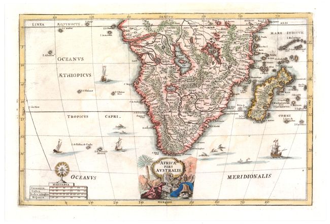
Subject: Southern Africa
Period: 1700 (circa)
Publication:
Color: Hand Color
Size:
13.7 x 8.9 inches
34.8 x 22.6 cm
Download High Resolution Image
(or just click on image to launch the Zoom viewer)
(or just click on image to launch the Zoom viewer)