"La Perse la Georgie, la Natolie les Arabies, l'Egipte et le Cours du Nil ou se Trouve Aussi le Pont Euxin la Mer Caspienne la Mer Rouge et les Golfes de Perse et d'Ormus", Fer, Nicolas de
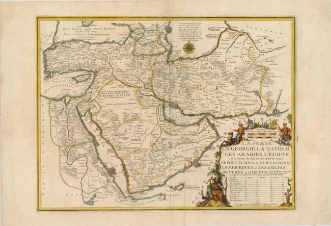
Subject: Near and Middle East
Period: 1720 (dated)
Publication: Atlas ou Recueil de Cartes Geographiques
This detailed map of Persia, Anatolia, the Arabian Peninsula, and Egypt shows urban centers, towns, caravan stations, mountains, and even caravan routes, denoted by parallel lines. The full course of the Nile is shown from the source, les Yeux ou Sources du Nil in modern-day Ethiopia, to its mouth in the Mediterranean. Major water features such as rivers, lakes, seas, and gulfs are labeled as well. A table with the longitude and latitude for the most important locations are listed within the title cartouche. The large, decorative title cartouche features a camel, figures dressed in regional clothing, and an incense burner, all representative of the region.
References: Ankary #140.
Condition: B+
A nice impression with wide margins and a few small stains in map image.