Catalog Archive
Auction 142, Lot 575
"[Untitled - Sicily]", Raleigh, Walter (Sir)
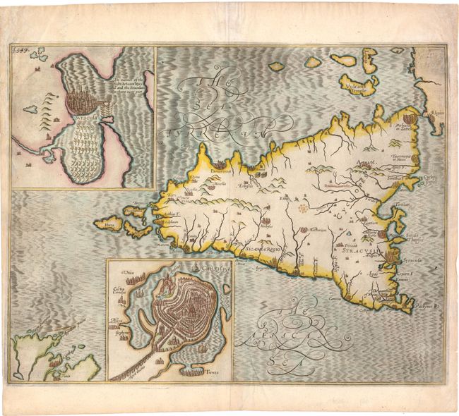
Subject: Sicily, Italy
Period: 1652 (circa)
Publication: The Historie of the World
Color: Hand Color
Size:
15.5 x 12 inches
39.4 x 30.5 cm
Download High Resolution Image
(or just click on image to launch the Zoom viewer)
(or just click on image to launch the Zoom viewer)