Catalog Archive
Auction 142, Lot 46

"The World on Mercator's Projection", Fullarton, Archibald & Co.
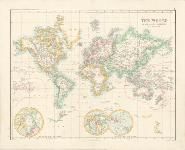
Subject: World

Period: 1860 (circa)

Publication: The Royal Illustrated Atlas

Color: Hand Color

Size:
20.5 x 16.1 inches
52.1 x 40.9 cm
Download High Resolution Image
(or just click on image to launch the Zoom viewer)

Handsome and very detailed map of the world. Many small islands are named and even some of Antarctica is depicted according to the recent discoveries by Lieutenant Wilkes, Sir James Clark Ross, and Nathaniel Palmer. There is a dashed line that meanders along the equator indicating the "line of greatest mean annual heat." A small double hemisphere is depicted "on the Plane of the Horizon of London" and an inset of the North Pole is also included. Engraved by G. H. Swanston.

References:

Condition: A

A centerfold separation at bottom that extends 2" into map has been professionally repaired.

Estimate: $200 - $240

Unsold

Closed on 11/28/2012

Archived