Catalog Archive
Auction 142, Lot 362
"La Ville de Cayenne pour Servir a l'Histoire Generale des Voyages", Bellin, Jacques Nicolas
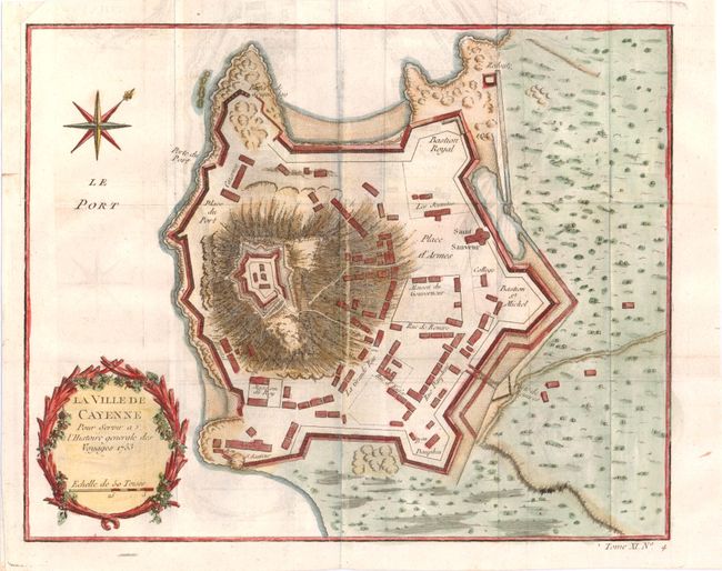
Subject: Cayenne, French Guiana
Period: 1753 (dated)
Publication: Prevost's Histoire Generale des Voyages
Color: Hand Color
Size:
10.8 x 8.7 inches
27.4 x 22.1 cm
Download High Resolution Image
(or just click on image to launch the Zoom viewer)
(or just click on image to launch the Zoom viewer)