Catalog Archive
Auction 142, Lot 337

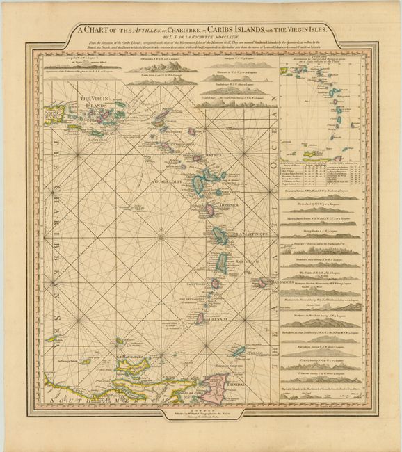
"A Chart of the Antilles, or, Charibbee, or, Caribs Islands, with the Virgin Isles", Delarochette, Louis Stanislas d'Arcy
Subject: Lesser Antilles

Period: 1784 (dated)

Publication: General Atlas

Color: Hand Color

Size:
18 x 20.5 inches
45.7 x 52.1 cm
Download High Resolution Image
(or just click on image to launch the Zoom viewer)

A nicely laid out chart of the islands, surrounded by 22 sea-views of island approaches. The map extends from the eastern half of Puerto Rico and the Virgin Islands to Trinidad, Isla Margarita and Orchilla. A table of astronomic observations taken on land and latitudes taken at sea is given at right. The map is embellished with a compass rose, rhumb lines, and wind heads. Faden published this chart after he succeeded Thomas Jefferys as Geographer to the King in 1771. In his role, Faden had an advantage over other publishers due to his access to government material which was not generally available to his competitors. A very handsome chart that is not often seen.

References:

Condition: B+

Original color with faint offsetting and a few minor spots.

Estimate: $600 - $800

Sold for: $475

Closed on 11/28/2012

Archived