Catalog Archive
Auction 142, Lot 336

"Pascaerte vande Caribes, S. Iuan de Porte Rico...", Loon, Jan van

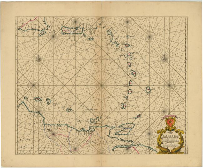
Subject: Lesser Antilles

Period: 1666 (circa)

Publication: Klaer Lichtende Noort-Star Ofte Zee Atlas…

Color: Hand Color

Size:
21.2 x 17 inches
53.8 x 43.2 cm
Download High Resolution Image
(or just click on image to launch the Zoom viewer)

Fine, rare sea chart of the Lesser Antilles from the southeastern shore of Hispaniola and Puerto Rico to the adjacent coastline of Venezuela. The chart is embellished with two compass roses, rhumb lines, and a decorative cartouche featuring the North Star and sea monsters. This map served as the basis for later editions by Goos and van Keulen, both of which are much more common than this edition. Published by Jan Jansson.

References: Shirley (BL Atlases) #M.LOON-1b.

Condition: B+

A dark impression on watermarked paper with wide margins. There is light toning along centerfold, a few minor spots of foxing at bottom, and a tiny repaired hole near map center. There are archival repairs to centerfold separations in blank margins and a short tear in bottom blank margin.

Estimate: $2,000 - $2,300

Unsold

Closed on 11/28/2012

Archived