Catalog Archive
Auction 142, Lot 233

"[Lot of 2] Georgia [and] Georgia",

Subject: Georgia

Period: 1826-34 (circa)

Publication:

Color: Hand Color

Size:
See Description
Download High Resolution Image
(or just click on image to launch the Zoom viewer)
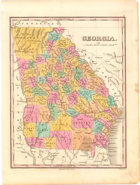
A. Georgia, by Anthony Finley, circa 1826 (8.7 x 11.3"). Lovely map of the state that details the roads, towns and settlements of the day. Numerous counties are delineated via hand coloring and engraved lines. The majority of roads radiate from Greensboro. The northwest corner is unorganized and labeled Cherokee Indians. Engraved by Young & Delleker. Condition: There are a few small stains in the right blank margin, away from the image.

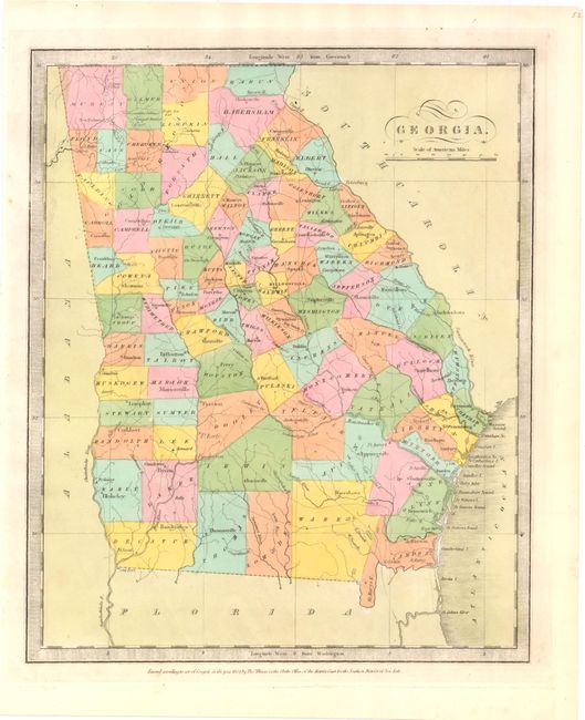
B. Georgia, by Thomas Illman, dated 1834 (10.3 x 12.6"). This finely engraved and colored map delineates roads, towns, villages and settlements, ports and watersheds. Hand colored by county. Surrounded by a keyboard-style border and with fancy titling. Burr was appointed to be topographer to the U.S. Post Office Department in 1832 and was unable to complete the maps for his atlas. Thomas Illman assumed that responsibility, publishing it using the New York firm of D.S. Stone. The imprint of Thomas Illman is below the neatline. Condition: There is one light extraneous crease at upper right, else fine.

References:

Condition: A

See descriptions above.

Estimate: $400 - $500

Sold for: $400

Closed on 11/28/2012

Archived