Catalog Archive
Auction 142, Lot 204

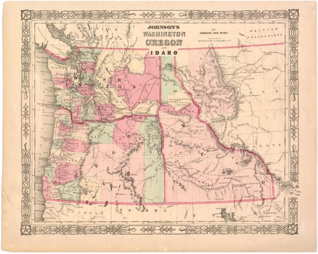
"Johnson's Washington Oregon and Idaho", Johnson & Ward
Subject: Northwestern United States

Period: 1864 (circa)

Publication:

Color: Hand Color

Size:
15.7 x 12.7 inches
39.9 x 32.3 cm
Download High Resolution Image
(or just click on image to launch the Zoom viewer)

A nice map of the northwest, with the new boundaries of Idaho Territory after Montana was separated in May 1864. Gold discoveries in Clearwater Country, Idaho, in September 1860 led to an influx of thousands of miners into the region. The areas of the Solomon River and the Nez Perce mines are shown as are other mining centers. Fort Boise is shown on the Oregon & Idaho border, and Governor Stevens' route and proposed railroad line is depicted through Washington, Idaho, and Montana.

References:

Condition: B+

Original color with light overall toning, minor foxing, and a crease at upper right. Short tears in left blank margin have been closed with archival tape.

Estimate: $160 - $200

Sold for: $120

Closed on 11/28/2012

Archived