Catalog Archive
Auction 142, Lot 149

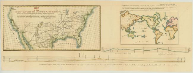
"Map of the Country Between the Atlantic & Pacific Oceans...", Mills, Robert

Subject: United States

Period: 1852 (circa)

Publication:

Color: Hand Color

Size:
32 x 10.5 inches
81.3 x 26.7 cm
Download High Resolution Image
(or just click on image to launch the Zoom viewer)

This sheet composed of three maps puts forth the concepts of Mills and Asa Whitney for a transcontinental railroad system. The first map by Mills shows the proposed route from Little Rock to San Diego and north to San Francisco, as well as how the proposed route would connect with the existing railroad system in the eastern US. The second, constructed by Whitney, is a world map with the RR continuing on to the Columbia River via San Francisco, showing the global trade opportunities the route would provide. Below the two maps is a barometric profile of the route. Size is for the sheet; the first map measures 16.5 x 8" and the world map measures 10 x 6".

References:

Condition: B+

Issued folding with a number of archivally repaired fold separations. Two tears that enter 1" into elevation profile at bottom and 2" into US map at left have also been archivally repaired.

Estimate: $200 - $230

Sold for: $150

Closed on 11/28/2012

Archived