Catalog Archive
Auction 141, Lot 205
"Soil Map, California, Reconnoissance Survey - Sacramento Valley Sheet", U.S.D.A.
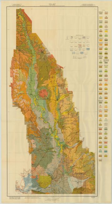
Subject: Sacramento, California
Period: 1913 (dated)
Publication:
Color: Printed Color
Size:
21.7 x 40.4 inches
55.1 x 102.6 cm
Download High Resolution Image
(or just click on image to launch the Zoom viewer)
(or just click on image to launch the Zoom viewer)