Catalog Archive
Auction 140, Lot 905

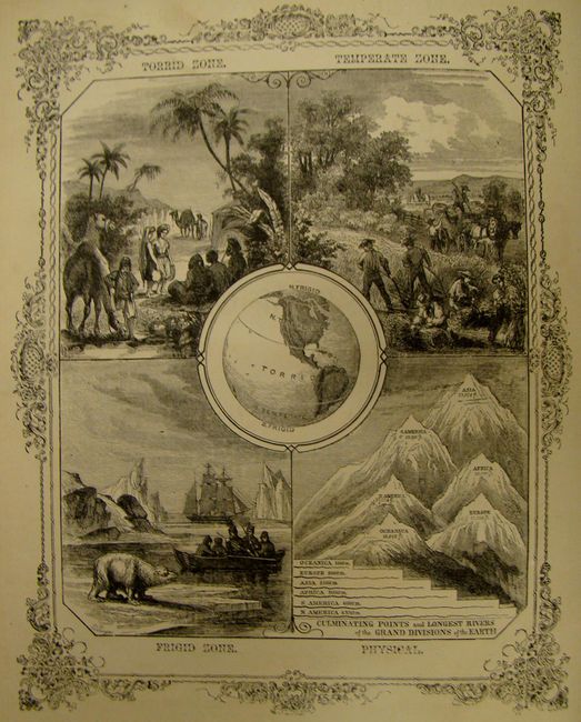
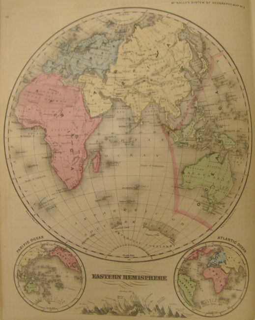
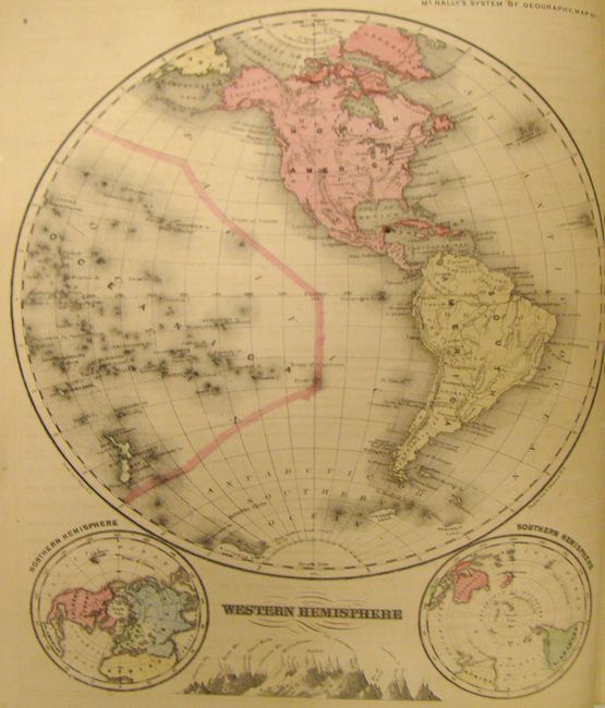
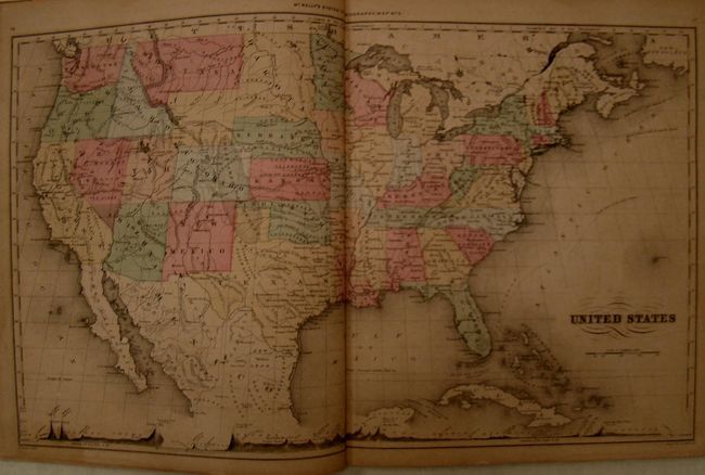
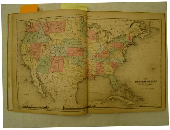
"An Improved System of Geography", McNally, Francis

Subject: Geography Books

Period: 1867 (published)

Publication:

Color: Hand Color

Size:
10 x 12 inches
25.4 x 30.5 cm
Download High Resolution Image
(or just click on image to launch the Zoom viewer)

This school geography book contains complete lesson plans for learning world geography. The book begins with definitions of terms, and then is divided into lesson plans for each geographical area. Each lesson plan features one map and contains dozens of map questions about the mountains, rivers, cities, and other landmarks, and also includes information about key resources and exports. The map of Nebraska, Kansas, Dakota, Colorado and Montana shows an unnamed Wyoming attached to Dakota with the "Oil Region" in the northwestern portion. At the end of the book is a test containing hundreds of questions, such as "What peak in the Caucasus is higher than any mountain in Europe?" and "What countries are richest in quicksilver?" 33 maps (1 double-page). Quarto, orange pictorial paper boards, 110 pp.

References:

Condition: B

Maps are in very good to near fine condition with original color. There is a faint damp stain on fore-edge of text block, confined to the blank margins. Covers are rubbed with bumped corners and some loss of image on back. Spine has been replaced with black binder tape with remnants of small strips of cello tape.

Estimate: $200 - $250

Sold for: $140

Closed on 5/23/2012

Archived