Catalog Archive
Auction 140, Lot 765

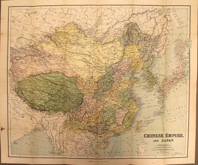
"Chinese Empire, and Japan", Philip, George
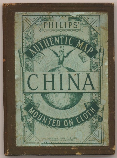
Subject: China, Korea & Japan

Period: 1900 (circa)

Publication:

Color: Printed Color

Size:
24 x 19.8 inches
61 x 50.3 cm
Download High Resolution Image
(or just click on image to launch the Zoom viewer)

This pocket map shows the region in excellent detail. Railways, submarine cables and treaty ports are specifically called out. The Great Wall is shown. The map is mounted on linen and folds into brown covers (4.5 x 6.5") with large paper label "Philip's Authentic Map of China Mounted on Cloth." Inside cover shows an advertisement for the full series of "Shilling Maps" by Philips.

References:

Condition: B+

There are a few spots and tiny worm holes in the image, as well as worm tracks in the left blank margin. Covers are worn and lightly stained, and the spine is cracked in the interior.

Estimate: $80 - $120

Sold for: $60

Closed on 5/23/2012

Archived