Catalog Archive
Auction 140, Lot 554

"Anjou. Andegavensium Ditionis Vera et Integra Desciptio", Ortelius, Abraham

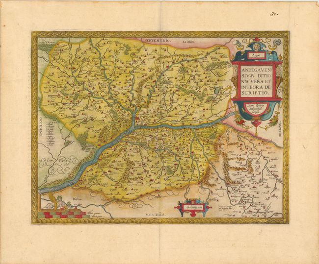
Subject: Anjou, France

Period: 1579 (dated)

Publication: Theatrum Orbis Terrarum

Color: Hand Color

Size:
18.8 x 14 inches
47.8 x 35.6 cm
Download High Resolution Image
(or just click on image to launch the Zoom viewer)

This is an attractive regional map of France focused on the Anjou region of western France, the present day department of Maine-et-Loire. Angers is at map center and is located next to the Maine and Loire rivers. There are numerous bridges displayed and there is a key at left identifying various islands in the Loire River. Ortelius based the map on a now lost map by Lezin Guyet that was published in Paris, 1573. It is richly embellished with bold cartouches and a harpy atop the distance scale. French text on verso, published in 1598.

References: Van den Broecke, #40.

Condition: A

There is some light text show-through on the left portion of the sheet, else fine.

Estimate: $220 - $250

Sold for: $160

Closed on 5/23/2012

Archived