Catalog Archive
Auction 140, Lot 277

"Map of the State of New York, with Part of Upper Canada", Hinton, Simpkin & Marshall
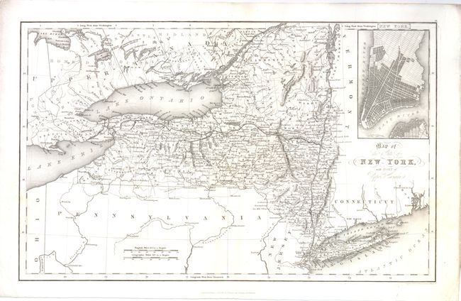
Subject: New York

Period: 1831 (dated)

Publication: History of the United States

Color: Black & White

Size:
15.5 x 9.5 inches
39.4 x 24.1 cm
Download High Resolution Image
(or just click on image to launch the Zoom viewer)

This delicately engraved map is focused on the state of New York and extends to the adjacent parts of Pennsylvania, Connecticut, Rhode Island and Upper Canada. Engraved to name counties and filled with fine details of roads, villages, mountains and watershed. The canals of the day are most prominently shown and include the Welland and the Erie (here the Gr. Canal) stretched between Lake Erie and Hudson River. Inset of Manhattan with streets in a grid pattern but not named. The title is in fancy text with scroll embellishments. Engraved and printed by Fenner Sears & Co.

References:

Condition: A

Faint toning along centerfold.

Estimate: $120 - $160

Unsold

Closed on 5/23/2012

Archived