Catalog Archive
Auction 139, Lot 93

"America", Tanner, Henry Schenck

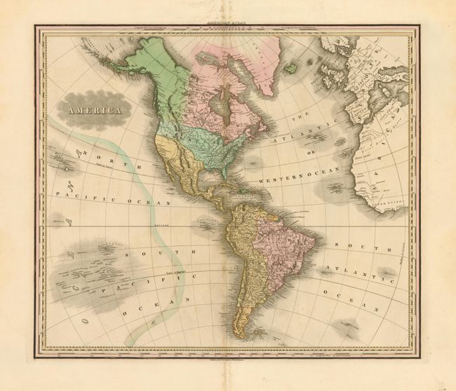
Subject: Western Hemisphere

Period: 1823 (circa)

Publication: American Atlas

Color: Hand Color

Size:
21.3 x 18.3 inches
54.1 x 46.5 cm
Download High Resolution Image
(or just click on image to launch the Zoom viewer)

A handsome map that shows the Western Hemisphere from Cape Horn to Baffin Bay, and from the Sandwich Isles to the western fringes of Europe and Africa. In North America, the United States is shown with its current northern border until the Pacific Northwest at which point it shows neither United States nor British claims, as this region was jointly occupied during this period. Alaska is still largely unexplored while Mexico is in control of Texas and the Southwest. There is good detail of the islands in the South Pacific including the Dangerous Archipelago.

References:

Condition: B+

Very good condition with original color. There is some minor loss and soiling in the blank margins with very faint toning along the centerfold.

Estimate: $300 - $400

Sold for: $160

Closed on 2/15/2012

Archived