Catalog Archive
Auction 139, Lot 778

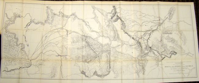
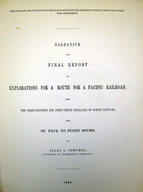
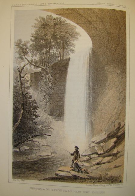
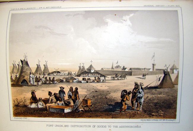
"Reports of Explorations and Surveys, to Ascertain the Most Practicable and Economical Route for a Railroad from the Mississippi River to the Pacific Ocean, Volume XII, Book l", Stevens, Isaac Ingalls

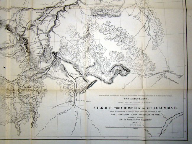
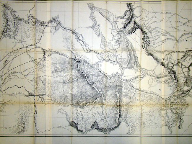
Subject: Exploration and Surveys

Period: 1855 (dated)

Publication: 36th Congress, 1st Session, Ex Doc. No. 56

Color: Printed Color

Size:
9 x 11.5 inches
22.9 x 29.2 cm
Download High Resolution Image
(or just click on image to launch the Zoom viewer)

During the 1850s, the U.S. government sponsored an extensive series of expeditions designed to gather information on the vast new territories that had been acquired in western North America. The discovery of gold in California further stimulated westward traffic and heightened the need for a faster and more convenient way to bring the far-flung parts of the country together. In 1853 Congress commissioned the Army's Topographic Bureau to conduct a series of surveys to find a suitable route for a transcontinental railroad. There were six major expeditions; five of them covered the area between the Great Plains and west coast, and the sixth explored the coastal states of California and Oregon. All of these expeditions were accompanied by naturalists and artists to document the landscape, flora and fauna along the route. The reports, maps and lithographs were published in the 13 volume report "Explorations and Surveys to ascertain the most practicable and economical route for a Railroad from the Mississippi river to the Pacific Ocean."

This volume describes Steven’s explorations from St. Paul to Puget Sound and contains his general narrative and final report and a superb collection of lithographs by John Mix Stanley, the expedition artist. There are seventy tinted lithographs, a folding chart [General Rail-road Profiles), and the map of Milk R. to the Crossing of the Columbia R.. Among the important lithographs are those that depict St. Paul, Fort Union, Fort Benton, Blackfeet Indians, Fort Owen, Nez Perces, Mount Rainier, and Cantonment Stevens (Corvallis). 4to, 358 pp., appendices and index, 41 pp. Hardbound, quarter-calf with marbled paper boards. Gilt lettering on spine.

References:

Condition: B+

Pages and plates are generally clean with very minor scattered foxing. Map is clean and bright with a small three-inch tear closed with archival tape on verso with a tiny hole near the center of the image. Covers show some wear and the edges are bumped and hinge is starting.

Estimate: $300 - $400

Sold for: $175

Closed on 2/15/2012

Archived