Catalog Archive
Auction 139, Lot 766

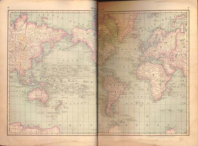
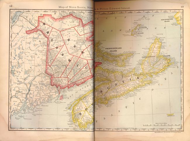
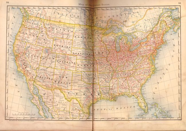
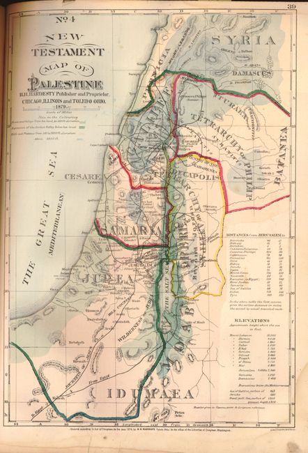
"Historical Hand-Atlas Illustrated", Hardesty, Hiram H.

Subject: Atlases

Period: 1880 (published)

Publication:

Color: Printed Color

Size:
11 x 15 inches
27.9 x 38.1 cm
Download High Resolution Image
(or just click on image to launch the Zoom viewer)

This atlas is titled as an historical atlas, but is in fact a modern atlas of Canada and the United States with a few biblical maps. It contains a vast amount of historical information on the United States, each individual state, and a special section on Putnam County, Ohio. The atlas contains 74 maps in printed color by Rand-McNally, composed of a world map, the West Indies, five on Canada, and forty-five covering the United States. Five of the U.S. state maps are fold-out maps, including New York, Ohio, Illinois, Texas and Indian Territory, and California and Nevada. The twelve hand-colored biblical maps are by H.H. Hardesty and are on 10 sheets. The section on Putnam County includes finely engraved vignettes of public and private buildings and portraits of prominent men. Folio, 249 pp. Original half leather over brown cloth with gilt illustration on front cover.

References:

Condition: B

The majority of maps are in very good to near fine condition. Covers stained and worn, with bumped and abraded corners and edges. Most of leather corners are missing, and spine has been repaired in brown binder's cloth. Some faint damp stains in text, primarily confined to blank margins. A few pages are partially detached or chipped. Ohio township fold-out map is fairly destroyed. Missing map of Alabama, as well as pp. 185-186, 191-192, 197-198 with township maps and views of notable residences in Putnam County.

Estimate: $200 - $250

Unsold

Closed on 2/15/2012

Archived