Catalog Archive
Auction 139, Lot 757

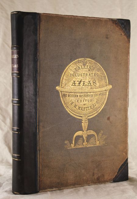
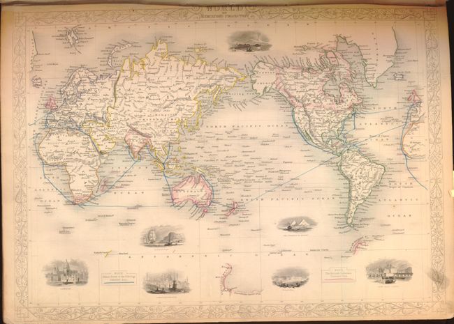
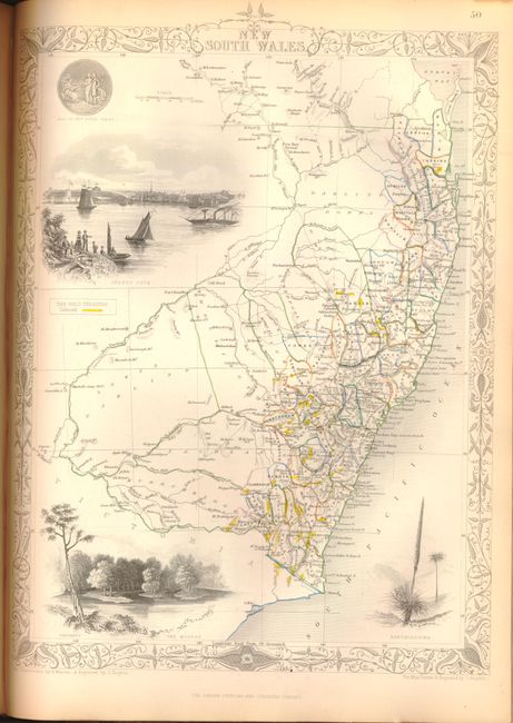
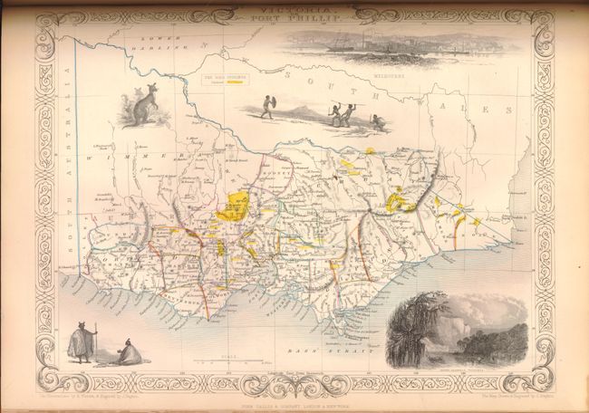
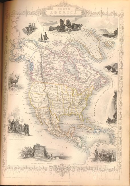
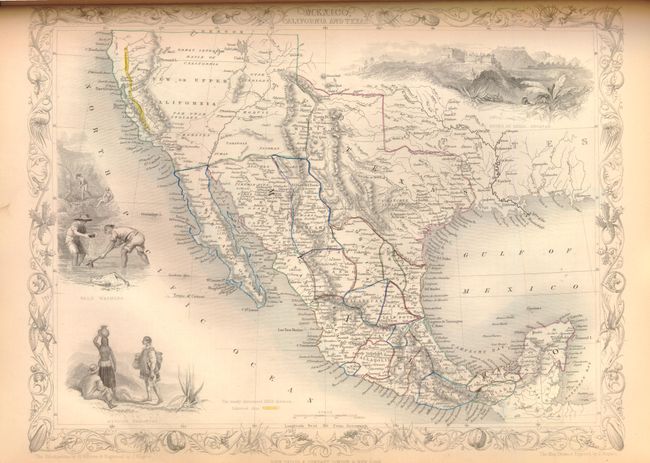
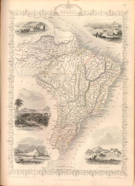
Decorative Tallis Atlas

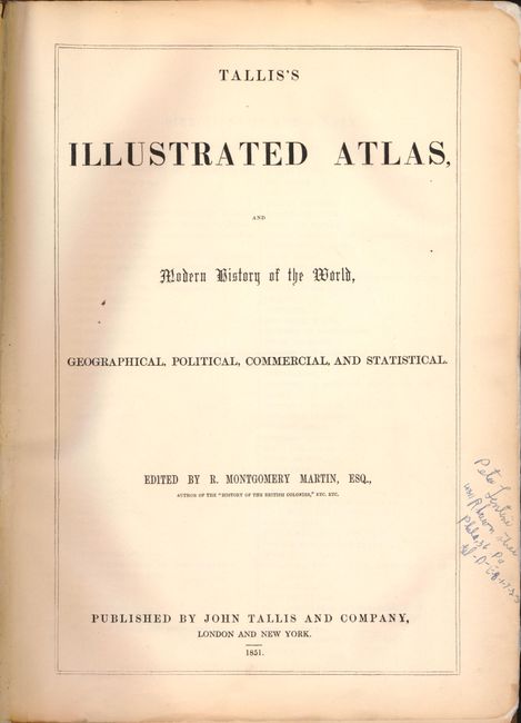
"The Illustrated Atlas, and Modern History of the World…", Tallis, John

Subject: Atlases

Period: 1851 (published)

Publication:

Color: Hand Color

Size:
11.3 x 14.8 inches
28.7 x 37.6 cm
Download High Resolution Image
(or just click on image to launch the Zoom viewer)

The maps from The Illustrated Atlas were first published in serial form to a target audience that led insular lives due to the expense and hardship of travel. All that changed as the progress of the nineteenth century brought swift and dramatic changes in public awareness of far away places. Tallis' maps no doubt played an important role in this dramatic awakening. These maps not only provided up-to-date geographical knowledge, but also used vignette views within the map's design to show the native people and their occupations, cities and points of interest. The maps hark back to a cartographic tradition from the Dutch mapmakers of the seventeenth century with finely engraved decorative borders. The maps were drawn and engraved by John Rapkin with views drawn and engraved by a number of prominent artists. The maps were issued as a complete volume from 1851 until about 1865. Some of the maps were also published in other history books published by Tallis including British Colonies and, without the vignettes, in geographical dictionaries and encyclopedias until about 1880.

This scarce and very desirable folio atlas is one of the last "decorative type" atlases to be published. Edited by R. Montgomery Martin and published by John Tallis & Co., it is sometimes called the "Tallis Atlas". This nearly complete atlas contains 81 maps, 2 charts and related text pages interspersed throughout. The only missing page is the frontispiece of the Great Exhibition. Each of the steel plate engraved maps feature at least one engraved vignette, many with two or more, and help to make this a truly beautiful atlas. The Mexico, California and Texas map is the Gold Rush version with the added vignette titled "Gold Washing" and the gold region of California identified with yellow color along the Rivers Sacramento and San Joaquin. The Victoria, or Port Phillip and New South Wales maps also shows "The Gold Diggings" areas highlighted in yellow. This edition has a total of seven maps of Australia, Tasmania and New Zealand. Freshly rebacked in brown half calf with original cloth boards embossed with a gilt globe and new endpapers. Sheets are all edges gilt.

References:

Condition: B+

The maps are in original outline color and the vignettes and borders are uncolored, as issued. Maps are mostly fine to very good with just a few good due to small stains or light soiling, primarily in the blank margins. The map of Jamaica has some minor chipping confined to the lower blank margins. The edges of the title pages have been reinforced with tissue on recto and the previous owner's name and address are written in ink in the margin. All pages are evenly and pleasantly ivory age toned. Covers show typical wear with rubbing and wear to cloth.

Estimate: $5,500 - $7,000

Sold for: $5,500

Closed on 2/15/2012

Archived