Catalog Archive
Auction 139, Lot 527
"Routes des Postes d'Italie…", Fer, Nicolas de
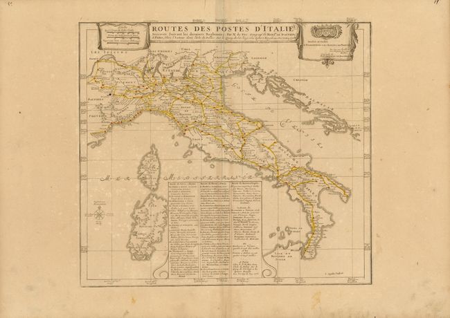
Subject: Italy
Period: 1705 (dated)
Publication: Atlas ou Recueil de Cartes Geographiques…
Color: Hand Color
Size:
19.5 x 17.3 inches
49.5 x 43.9 cm
Download High Resolution Image
(or just click on image to launch the Zoom viewer)
(or just click on image to launch the Zoom viewer)