Catalog Archive
Auction 139, Lot 394
"Nieuwe Gelyk Gradige of Platte Zekaart van het Noorder Deel van Europa Vertoonende de Geheele Groenlandse en Moskovise Scheepvaard... / Nouvelle Carte Marine de la Partie Septentrionale de l'Europe d'Emontrant la Navigation de Groenland et Moscovie", Keulen, Gerard van
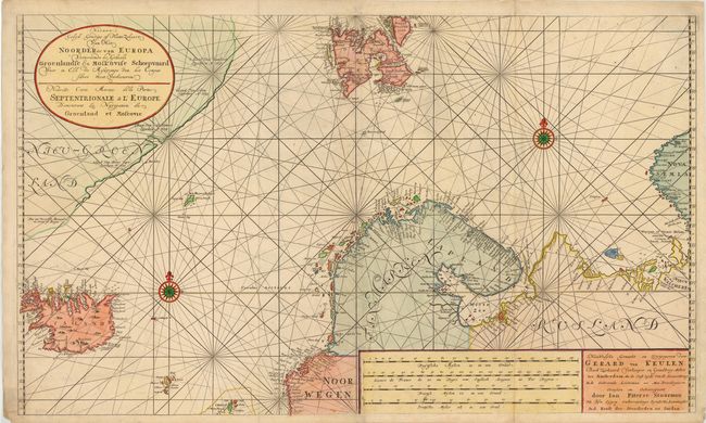
Subject: Arctic Ocean
Period: 1730 (circa)
Publication:
Color: Hand Color
Size:
39 x 23.5 inches
99.1 x 59.7 cm
Download High Resolution Image
(or just click on image to launch the Zoom viewer)
(or just click on image to launch the Zoom viewer)