Catalog Archive
Auction 139, Lot 350

"Residuum Continentis cum Adiacentibus Insulis", Wytfliet, Cornelis

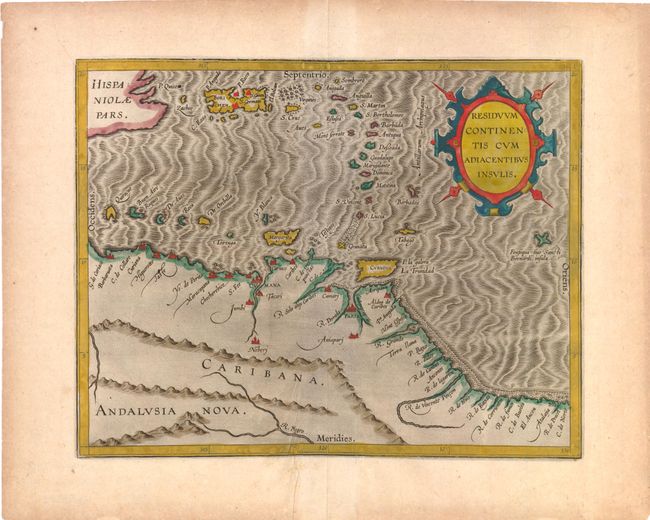
Subject: Northern South America & Caribbean

Period: 1597 (circa)

Publication: Descriptionis Ptolemaicae Augmentum…

Color: Hand Color

Size:
11.5 x 9 inches
29.2 x 22.9 cm
Download High Resolution Image
(or just click on image to launch the Zoom viewer)

This map of the southern Caribbean islands and the coastline of Venezuela appeared in Wytfliet's Descriptionis Ptolemaicae Augmentum…, which is considered the earliest atlas to focus on the Americas. Wytfliet's work was referred to as a continuation of Ptolemy, despite the fact that there was no connection with Ptolemy except for his name on the title page. Wytfliet compiled his atlas using multiple published sources, including Ramusio, Hakluyt and De Bry. This map depicts coastal towns, rivers and the mountainous topography of Venezuela, and is adorned with a strapwork cartouche and a moiré-patterned sea.

References: Phillips (Atlases) #1140 & #3644-8; Nordenskiold #307-8.

Condition: B+

A dark impression with wide margins and light toning in blank margins. There is a short crease to the left of centerfold at bottom.

Estimate: $700 - $900

Sold for: $425

Closed on 2/15/2012

Archived